
Near-Eastern travel routes to Mecca
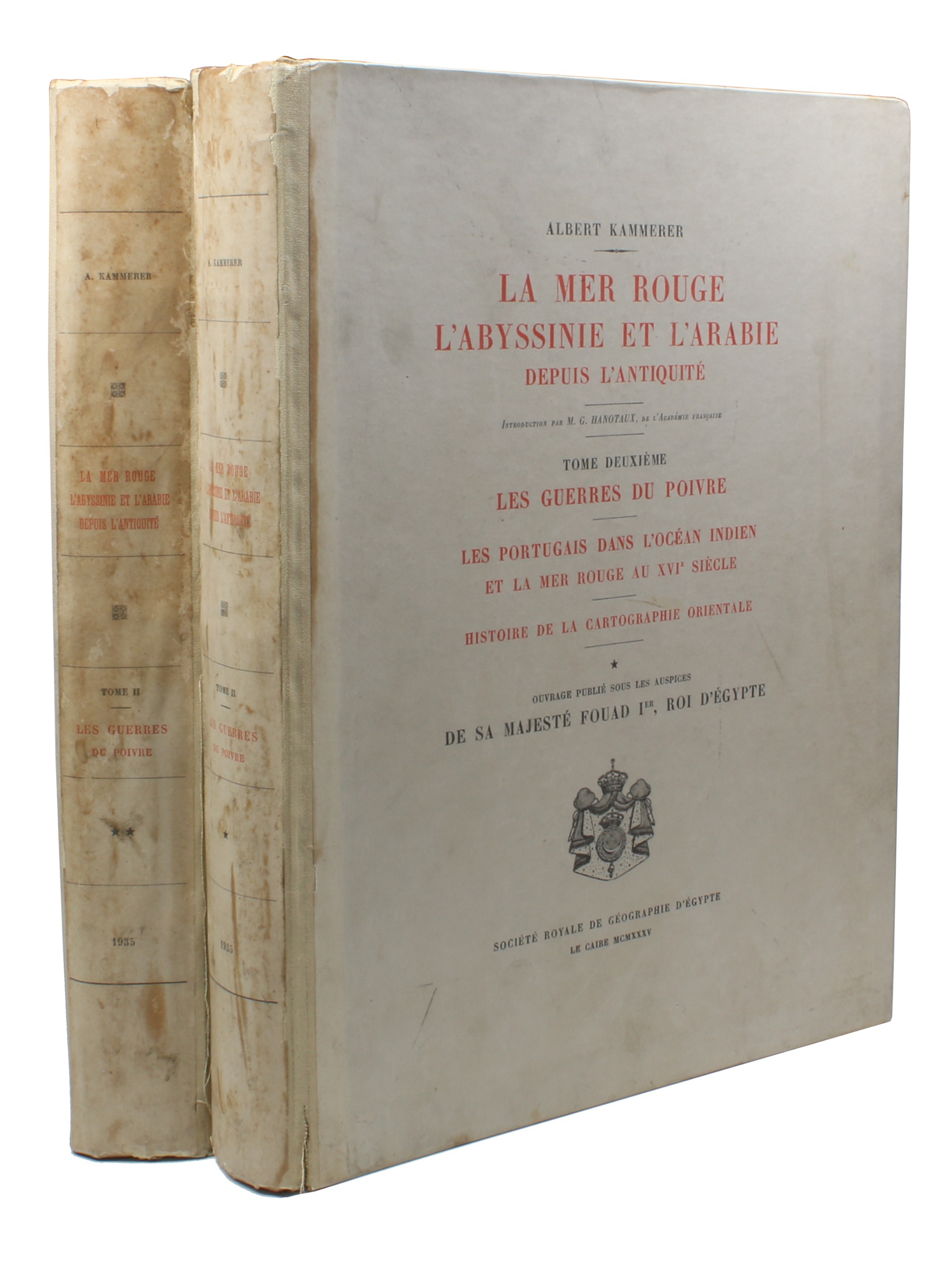
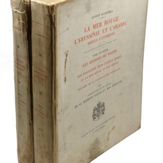
La Mer Rouge, l'Abyssinie et l'Arabie. Tome 2: Les guerres du poivre. Les Portugais dans l'Océan Indien et la Mer Rouge au XVIe siècle. Histoire de la cartographie orientale.
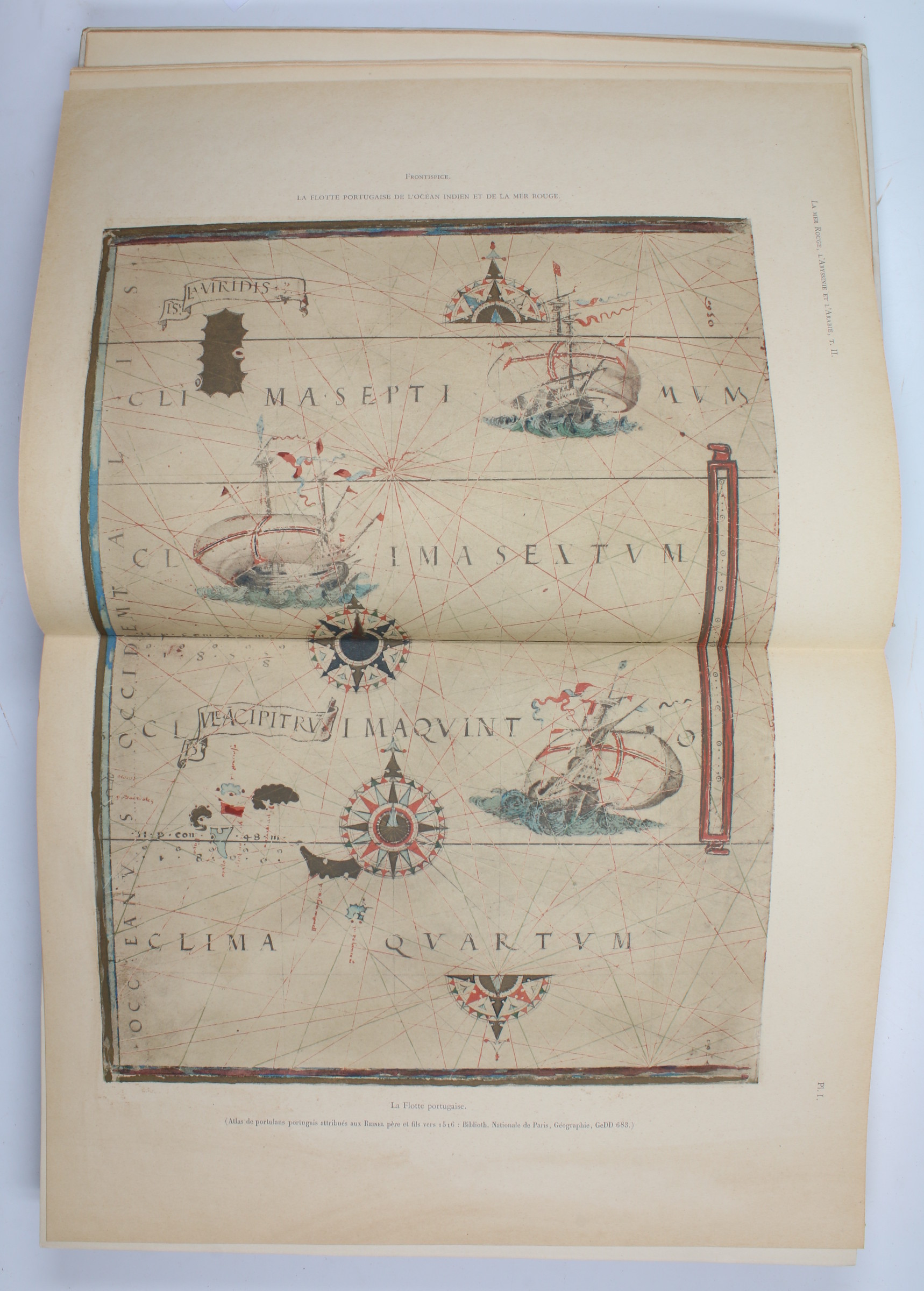
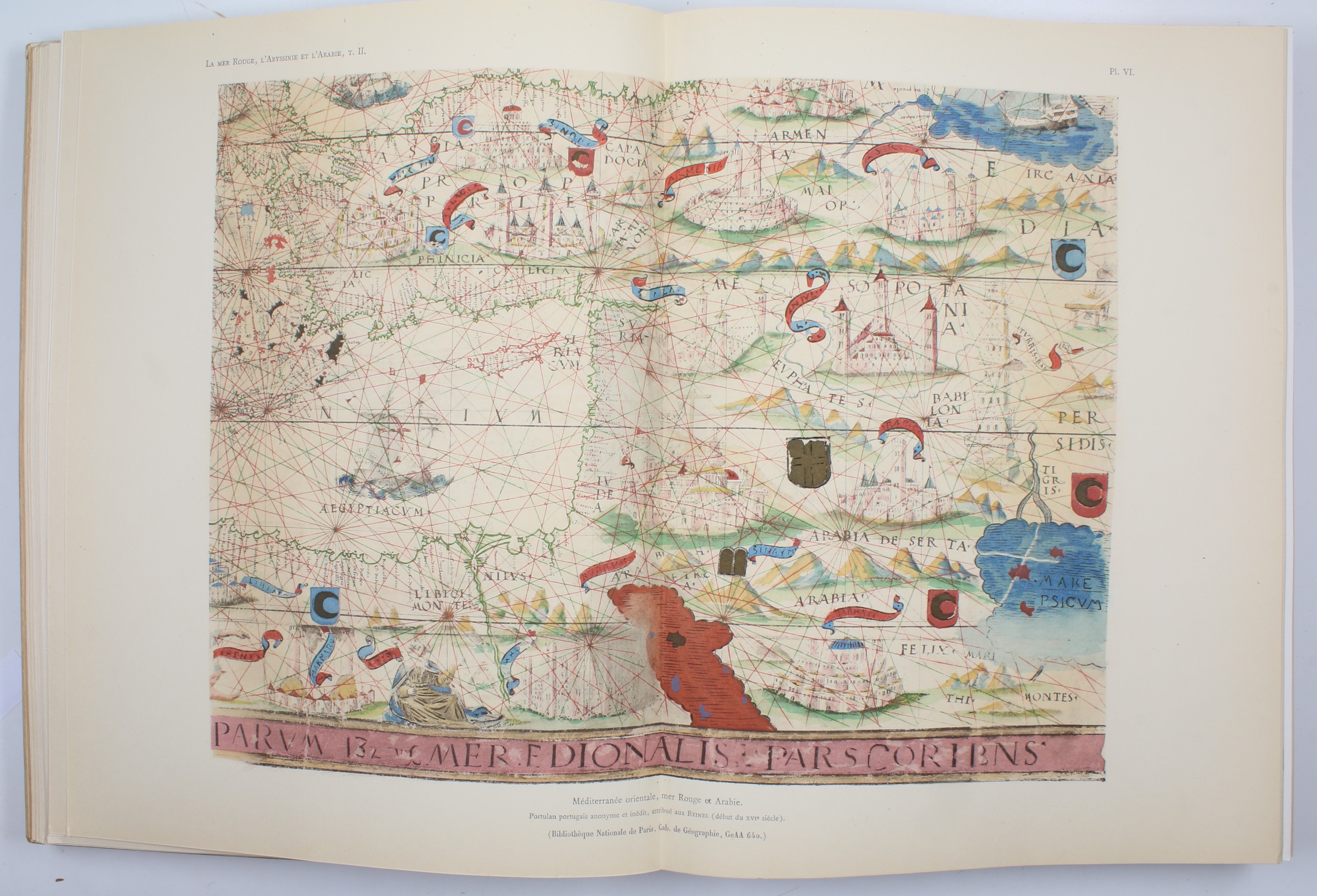
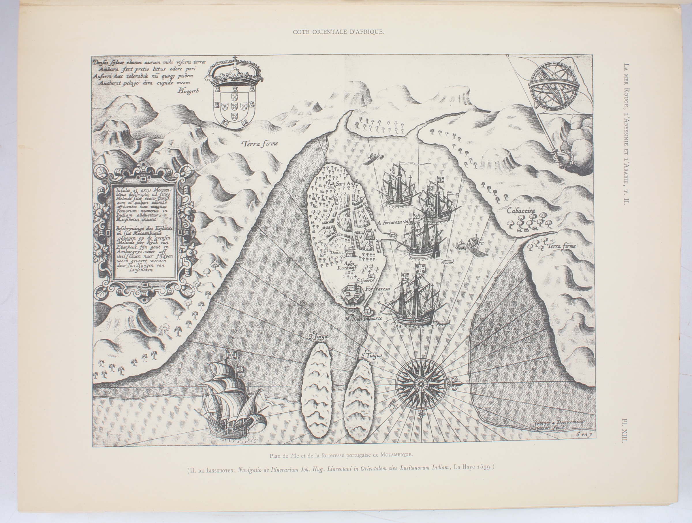
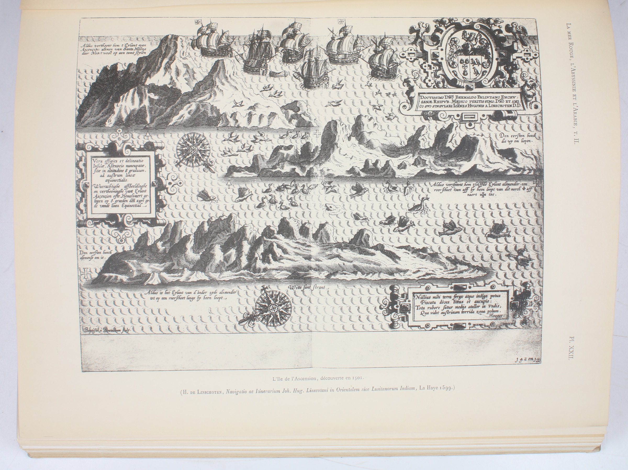
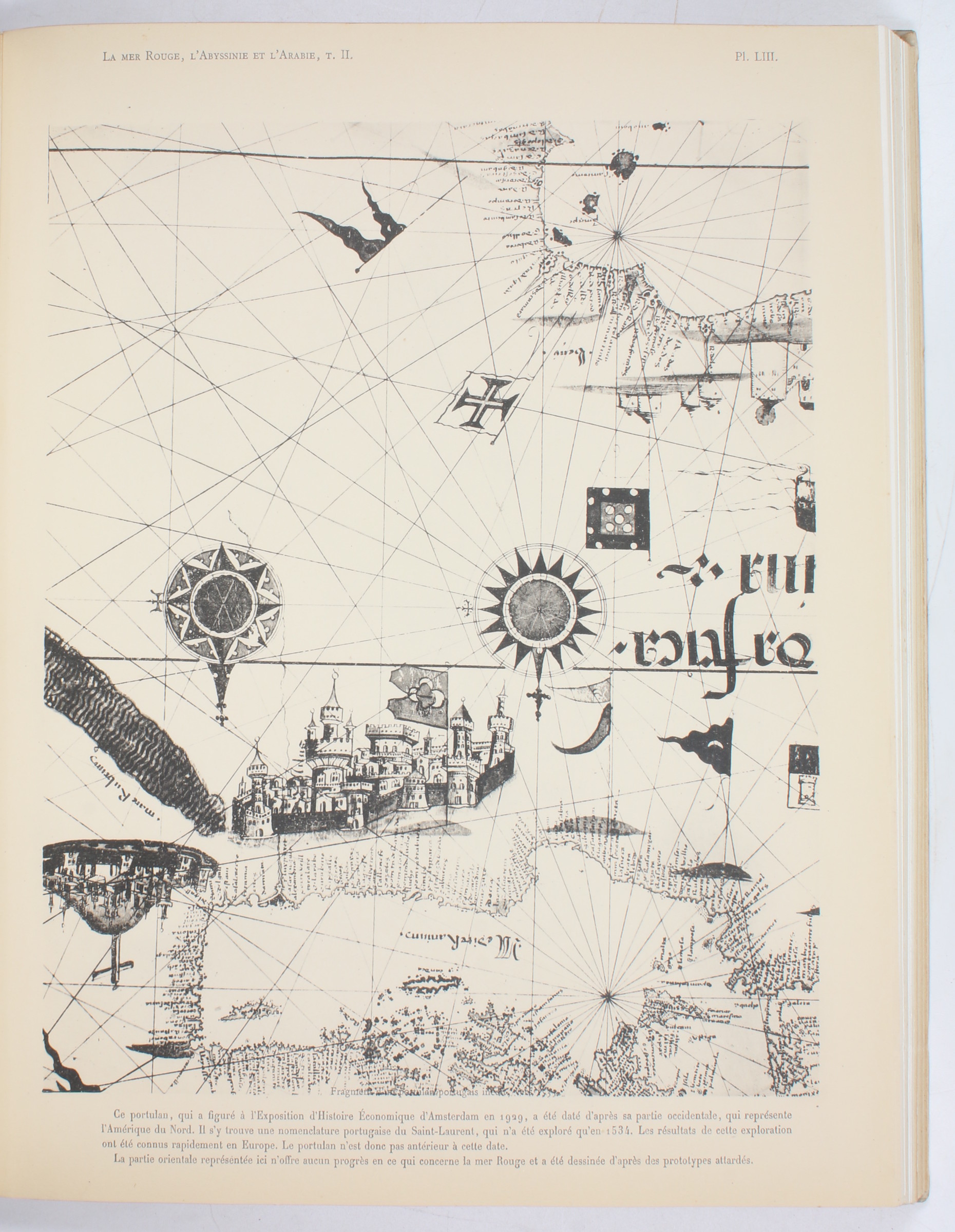
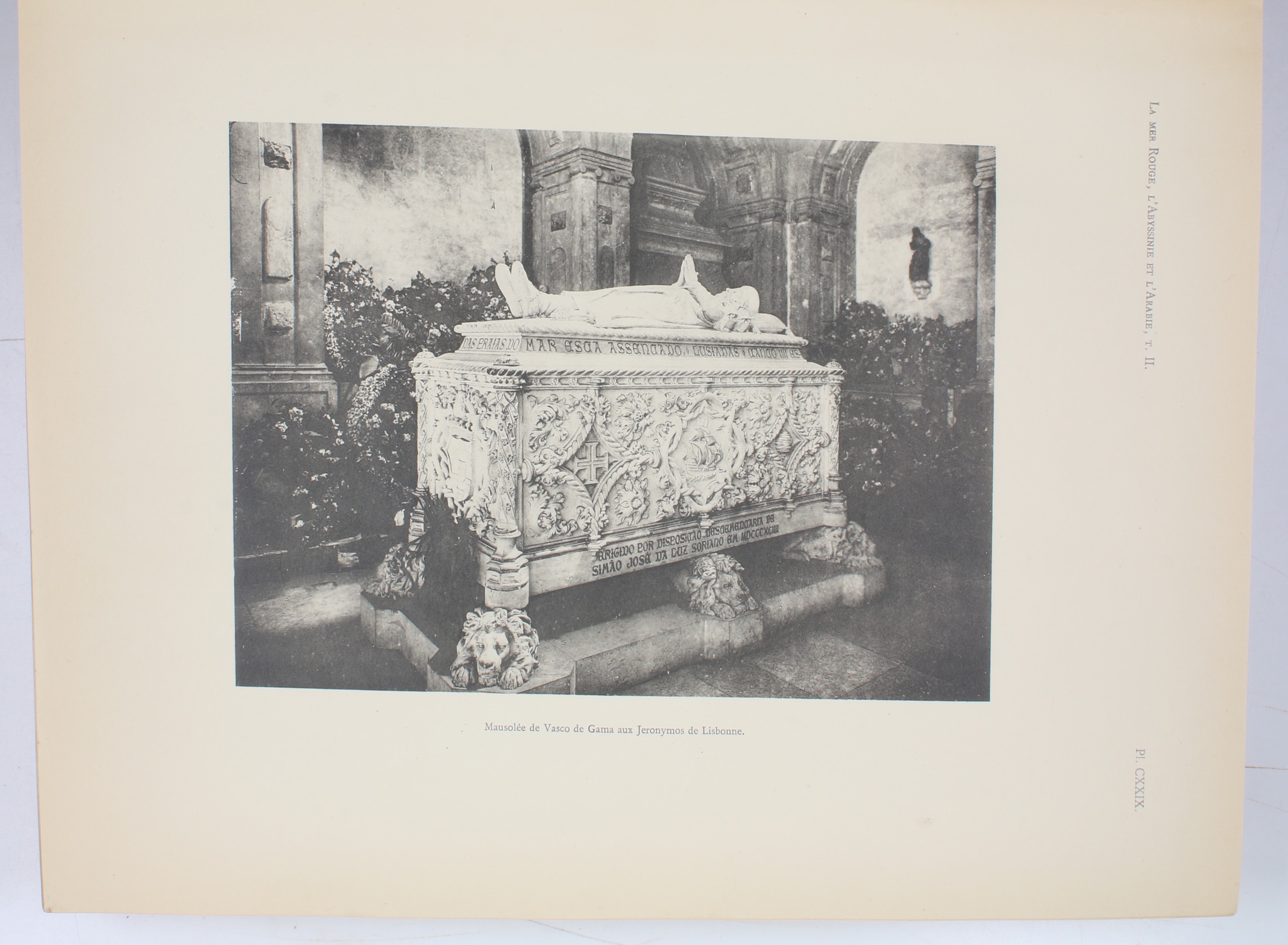
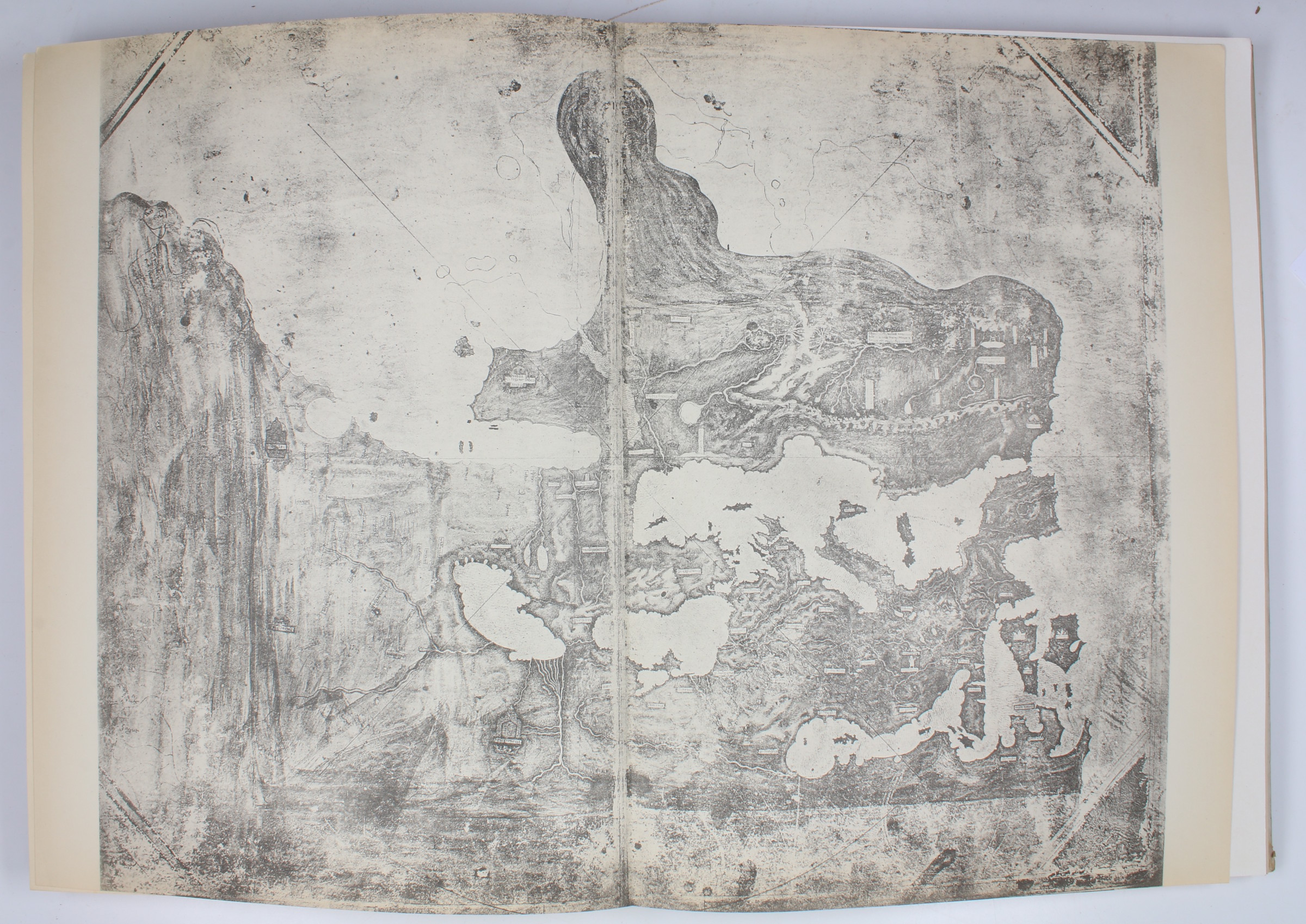
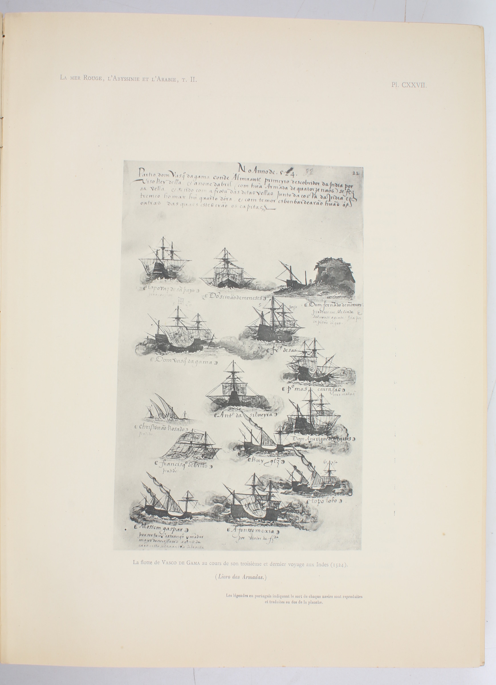
Folio (280 x 360 mm). 2 parts in 2 vols. (4), XVI, 262 pp. (2), 263-555, (1) pp. With 168 (instead of 169) numbered plates, including 14 (instead of 15) in colour, of which 10 large portolan facsimiles, and one folding colour printed map of Abyssinia and Yemen. The black-and-white plates include another 3 large portolan facsimiles. Also 95 numbered text illustrations. Contemporary half cloth with original printed covers and spines.
€ 1,500.00
Important study of Near-Eastern travel routes, also including Mecca and oriental cartography. Commissioned by King Fouad I of Egypt, and prepared by Albert Kammerer, scholar and French Ambassador to Turkey (1933-1936) as a three-volume series published 1929-52.
The present set comprises volume II in two parts, dedicated to Portuguese seafaring exploits in the Indian Ocean and the Red Sea up to the 16th century. It is particularly remarkable for its large portolan facsimiles, all of which are fine specimens of both Western and oriental historical cartography.
Lacks plate CL (a facsimile of the 1543 world map of Battista Agnesi); pencil note in Arabic regarding the missing plate on flyleaf of part II. Covers of part II a little stained; interior very well preserved with only occasional light waterstaining.
Macro, Bibliography of the Arabian Peninsula, 1339. Henze II, 315 (s. v. Estevâo da Gama). OCLC 2891592.
Related
-
![The Navigation and v[o]yages of Lewes Vertomannus, Gentelman of the citie of Rome, to the regions of Arabia, Egypte, Persia, Syria, Ethiopia, and East India, both within and without the ryver of Ganges, etc. In the yeere of our Lorde 1503. Conteynyng many notable and straunge thinges, both hystoricall and naturall. Translated out of Latine into Engylshe, by Richarde Eden).](https://inlibris.com/wp-content/uploads/2020/05/img-bn51040-324x324.jpg)
The Navigation and v[o]yages of Lewes Vertomannus, Gentelman of the citie …London, 1577.
€ 185,000.00 -
La Mer Rouge, l'Abyssinie et l'Arabie. Tome 2: Les guerres du poivre. Les …Cairo, 1935.
€ 850.00 -
Mon voyage a la Mecque.Paris, 1896.
€ 2,000.00 -
Voyage en Arabie. Séjour dans le Hedjaz. Campagne d'Assir.Paris, 1840.
€ 2,800.00