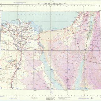
USAF aeronautical chart (447) Suez Canal.
Washington, D.C., D. Survey, War Office and Air Ministry, 1958.
Colour printed map, 765 x 565 mm. Scale 1:1,000,000. On verso aeronautical symbols and world aeronautical chart index.
€ 800.00
Third edition. Pilot's map of the Suez region with the 1949 Armistice border, the de facto borders of the State of Israel from 1949 until the Six-Day War in 1967. In addition, the chart shows parts of the Mediterranean, the Gulf of Suez and the Gulf of Aqaba, and details major cities including Cairo, Port Said, al-Mansura, al-Fayyum, and Jerusalem, as well as main roads, wadis, and landmarks such as Saint Catherine's Monastery on Mount Sinai.
Very well-preserved.
Related
-
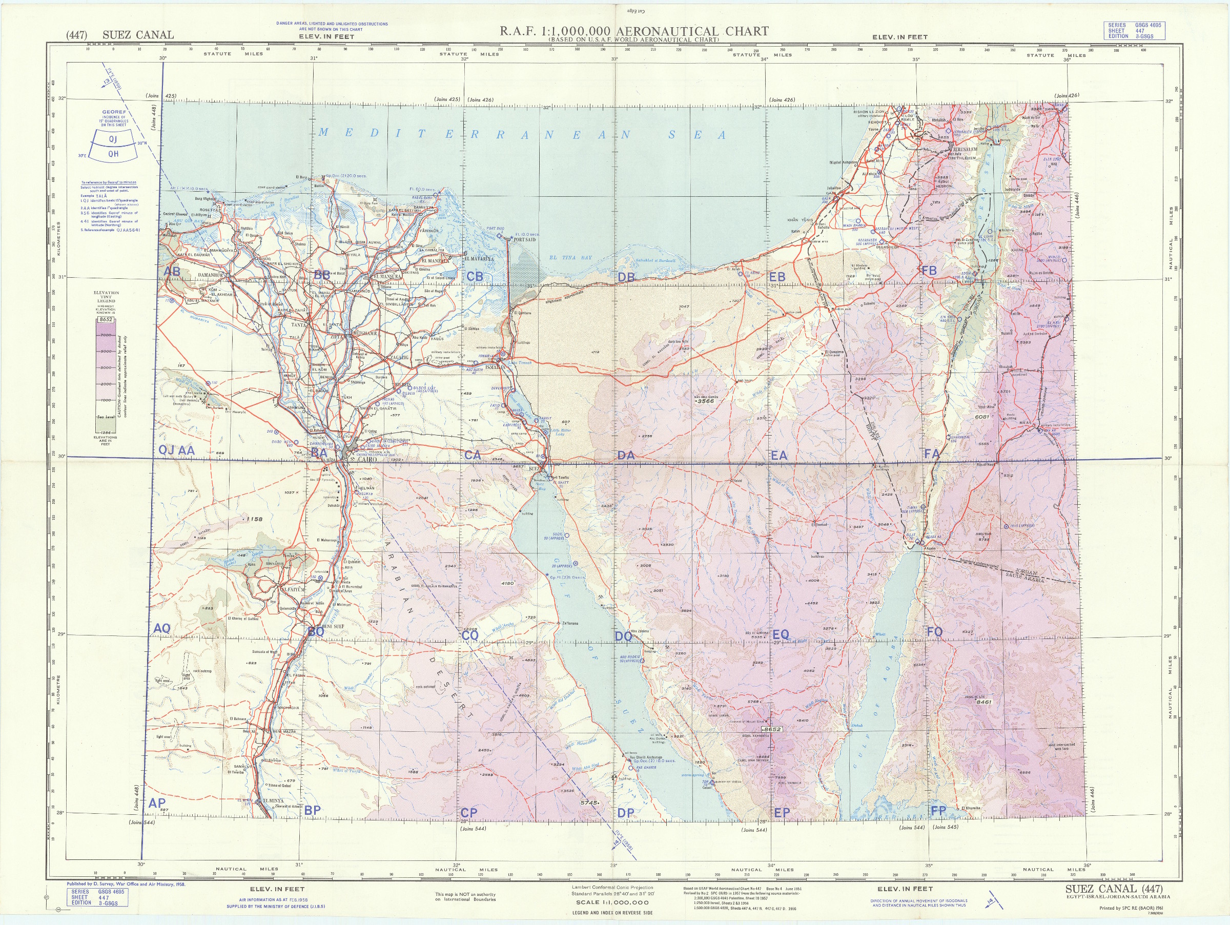
Reizen van Cornelis de Bruyn, door de vermaardste deelen van Klein Asia, …Delft, 1698.
€ 25,000.00 -
De imagine mundi.Nuremberg, 1472.
€ 45,000.00 -
Voyage dans le Levant en 1817 et 1818.Paris, 1819.
€ 35,000.00 -

Reisen oder Anmerkungen verschiedene Theile der Barbarey und der Levante …Leipzig, 1765.
€ 2,000.00