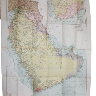
The Arabian Peninsula after the Great War
Arabia.
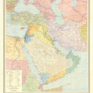
600 x 460 mm. Folding coloured map, scale 1:6,000,000, cloth-backed. Folded into the original red cloth case.
€ 3,500.00
A rare and attractive map focusing on the Arabian Peninsula, but also including Iraq, Jordan, Palestine, Syria and Asiatic Turkey. It shows boundaries and occupied territories as they were after World War I, physical features, principal cities, road networks, communication lines, and maritime navigation distance. The inset map at the top right shows the Aden Protectorate and part of South-Western Yemen (scale 1:1,825,000).
Rare. Library Hub locates just one copy, at the University of Manchester. OCLC adds two further holdings, at the University of Minnesota and the Library of Congress. In excellent condition.


