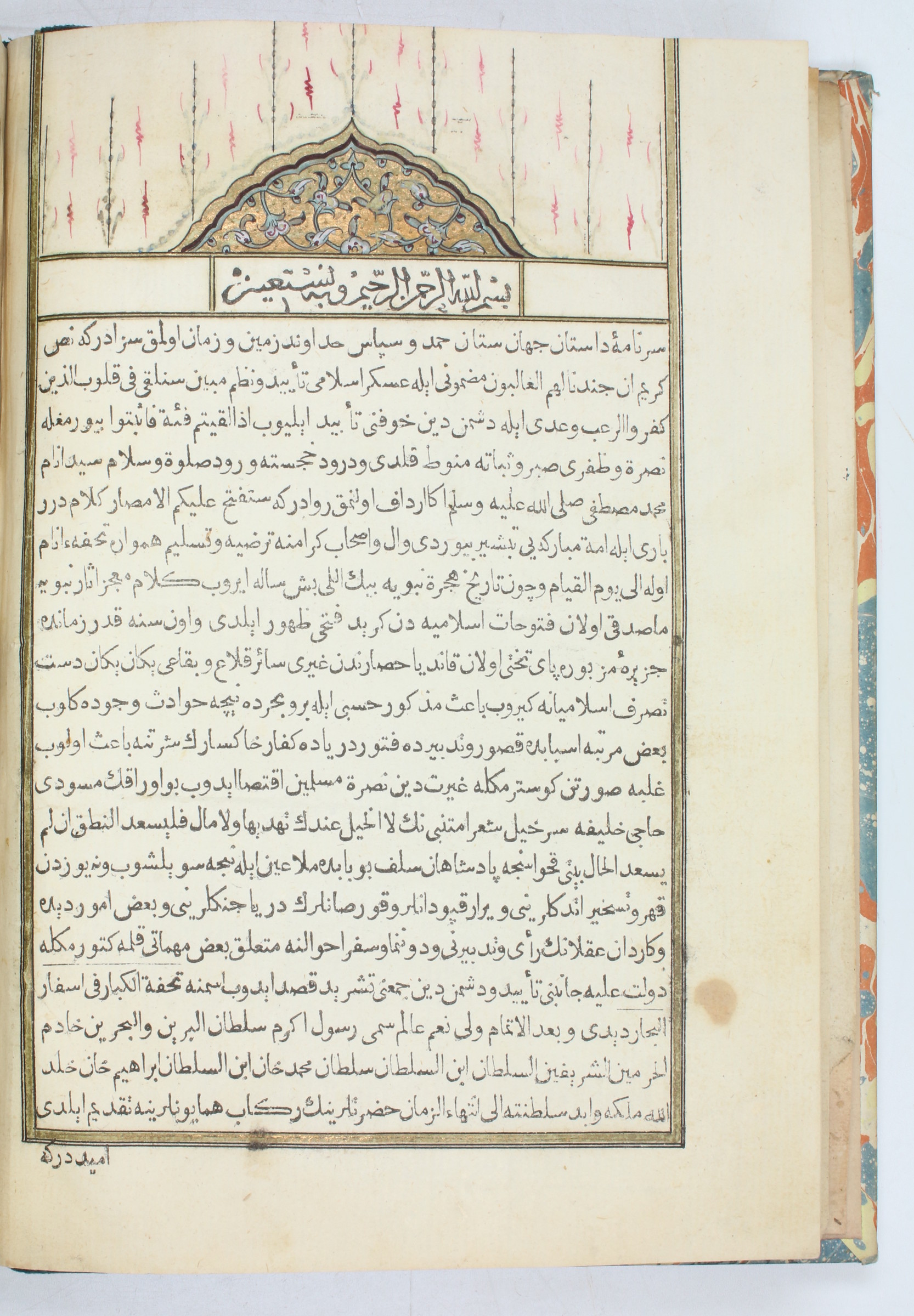
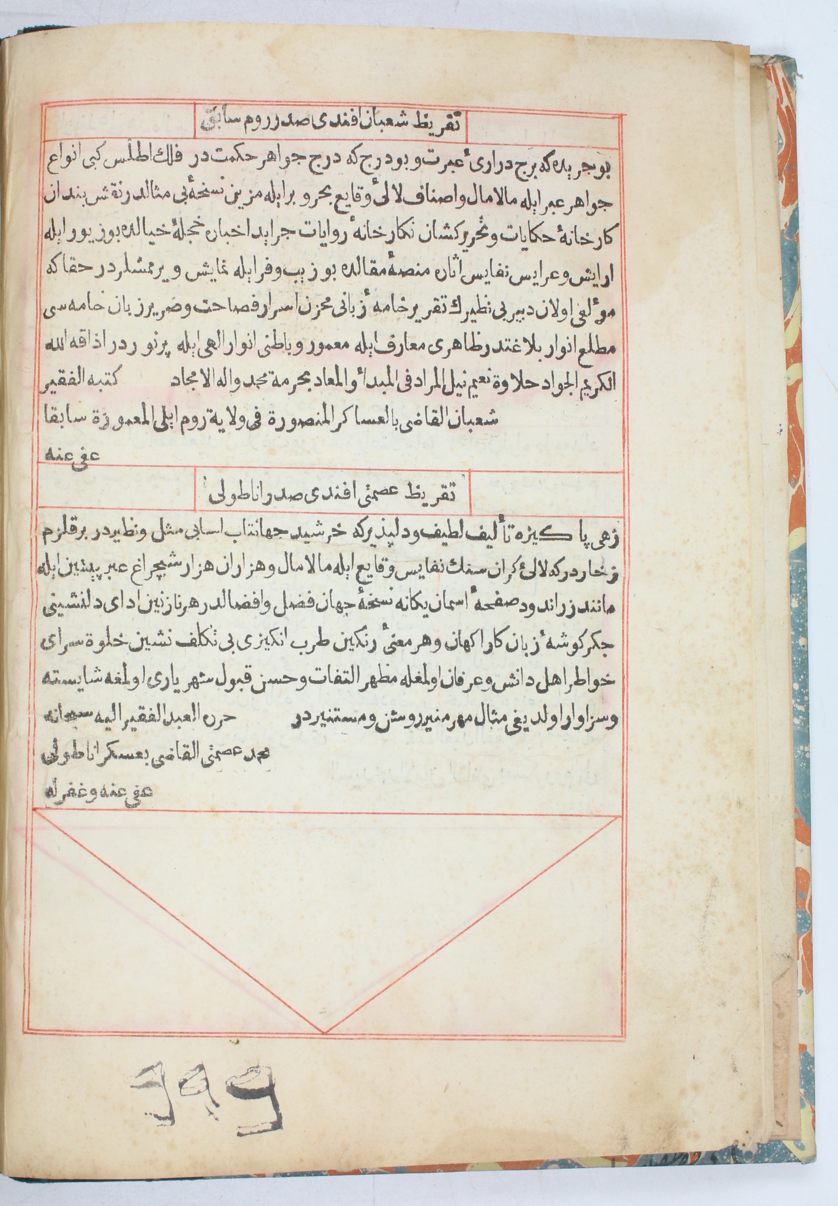
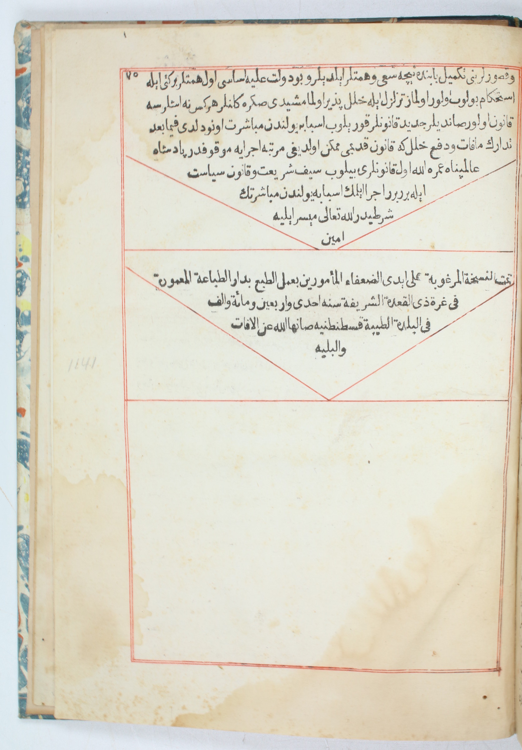
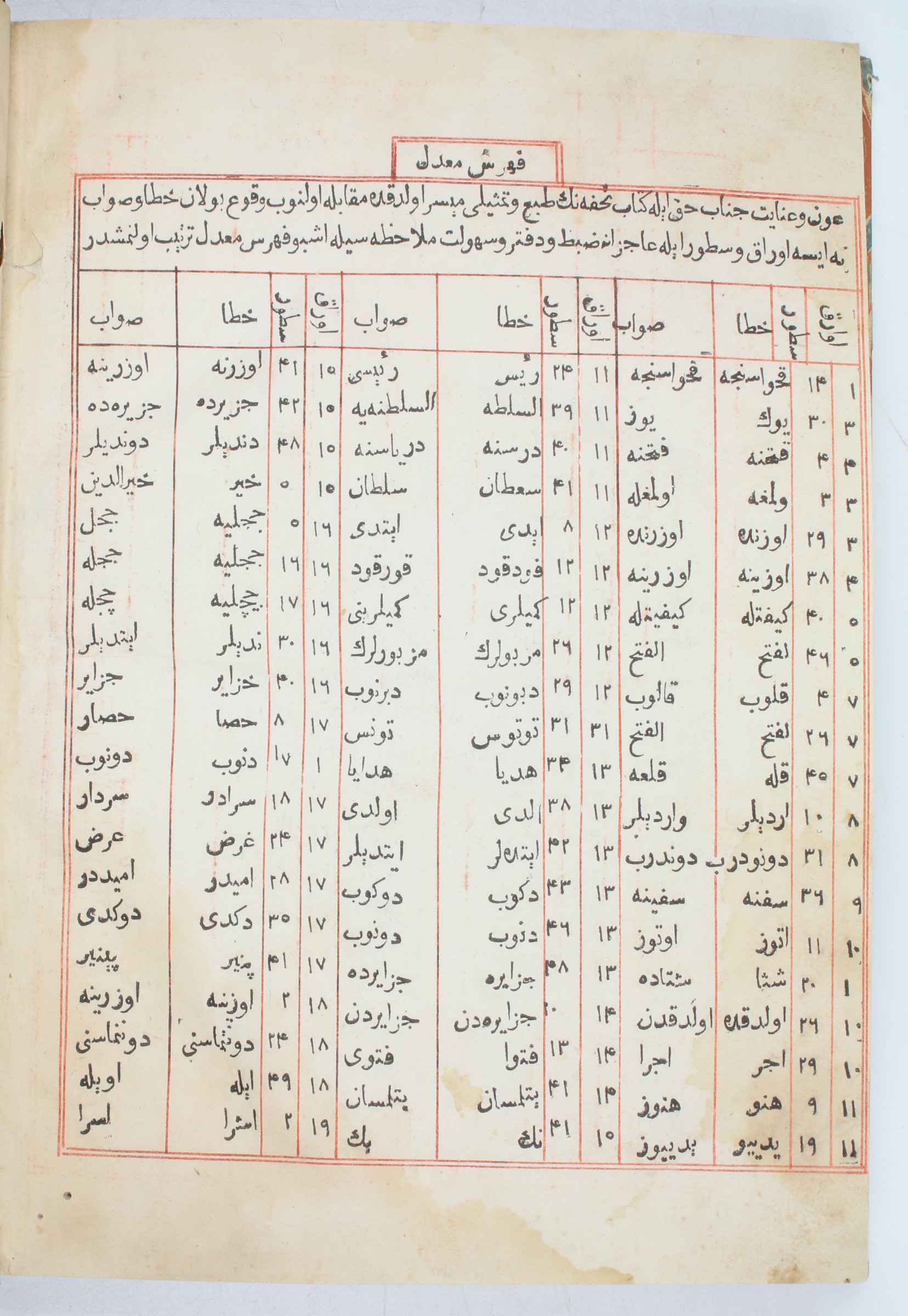
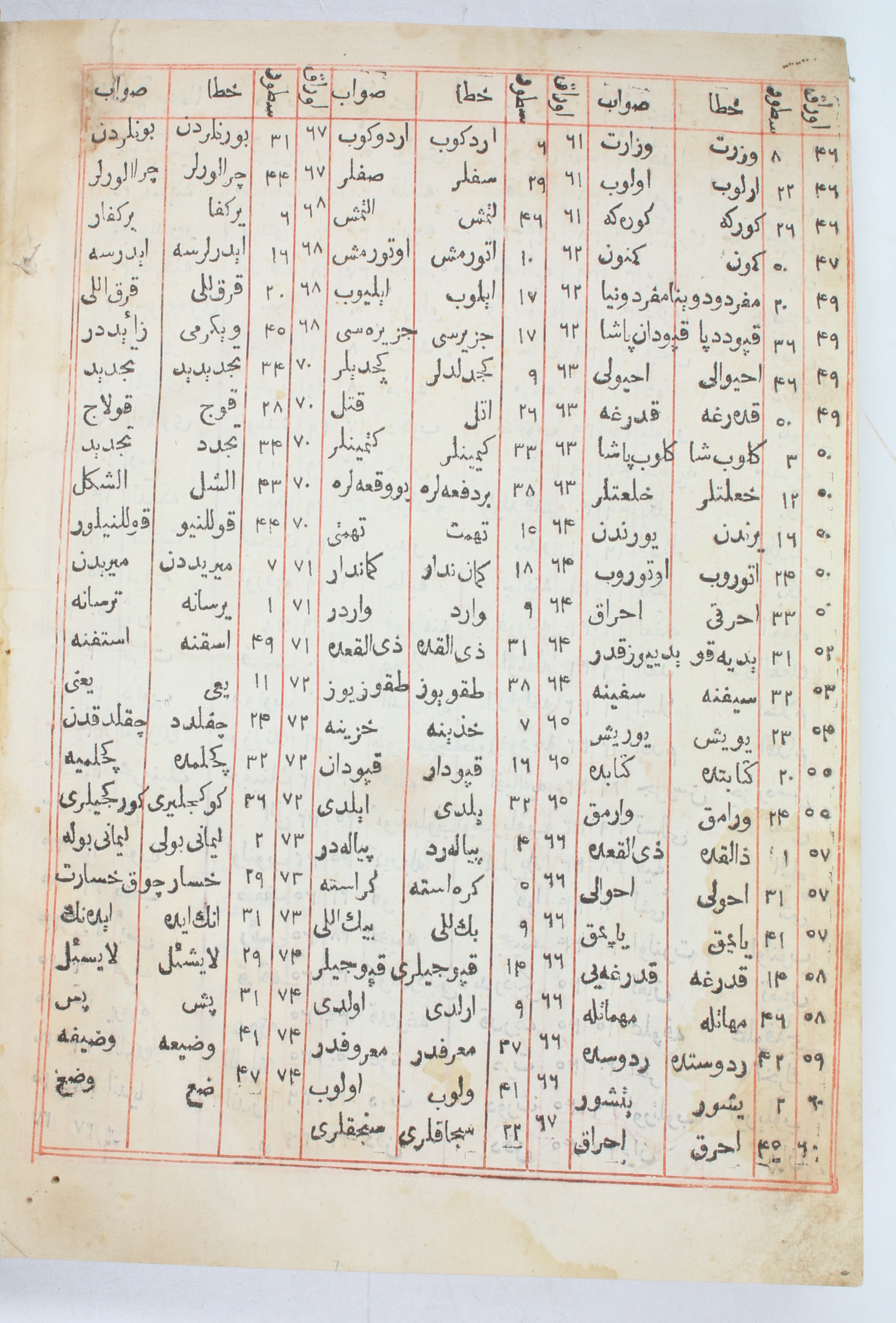
The first illustrated printed Turkish book
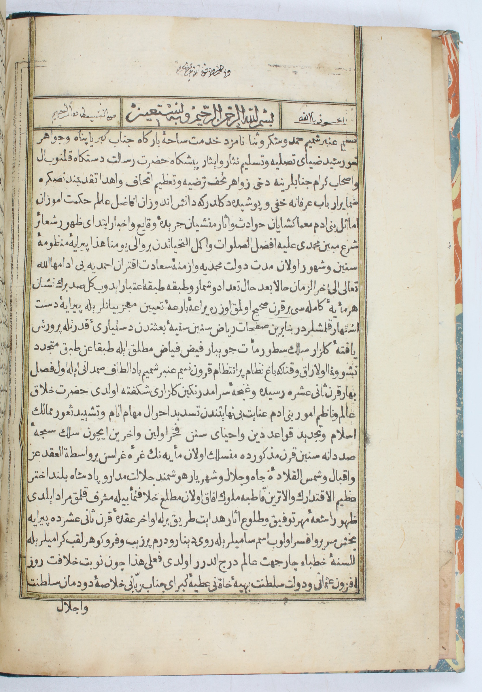
Tuhfet ül-kibar fi esfar il-bihar.
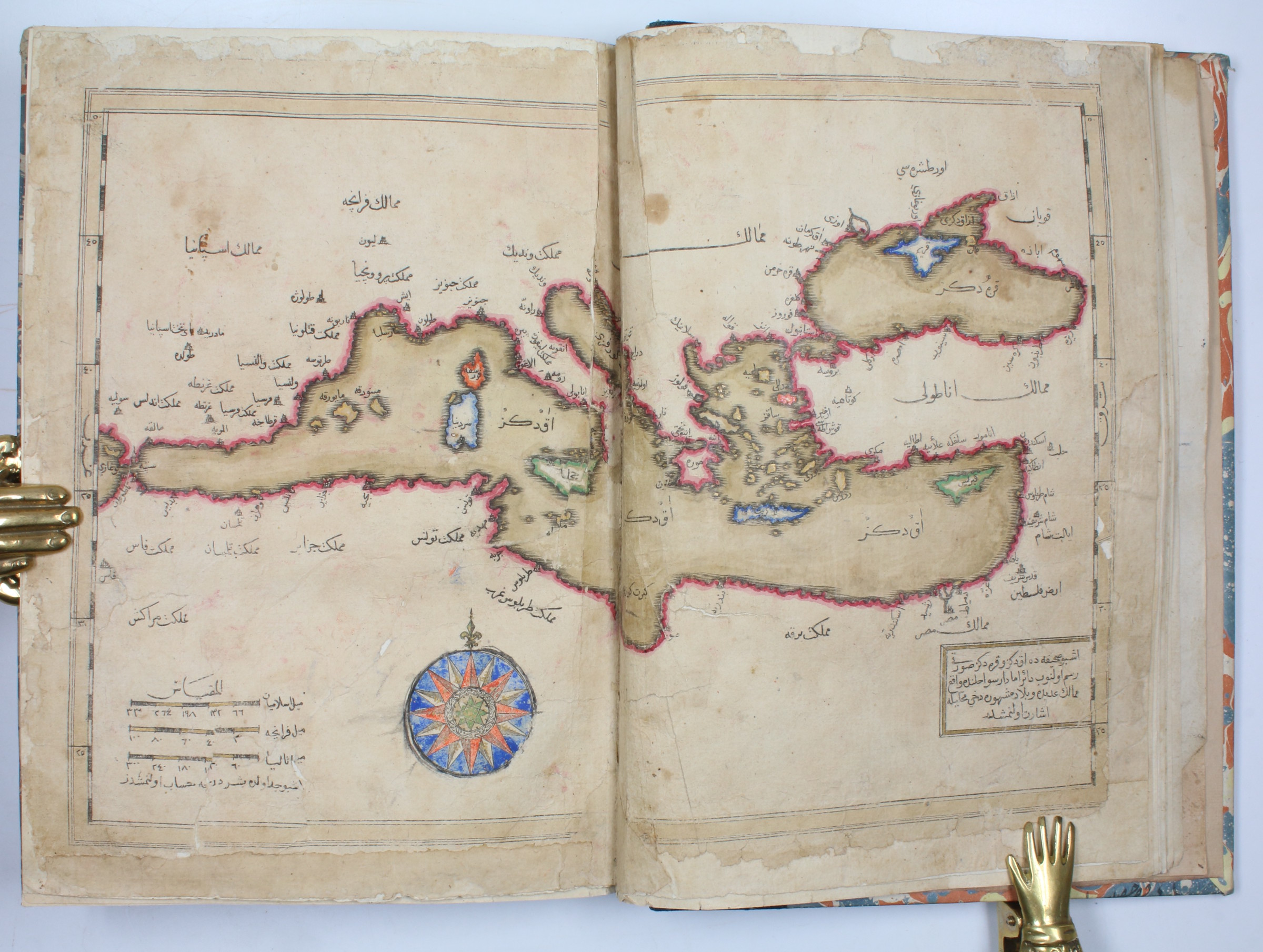
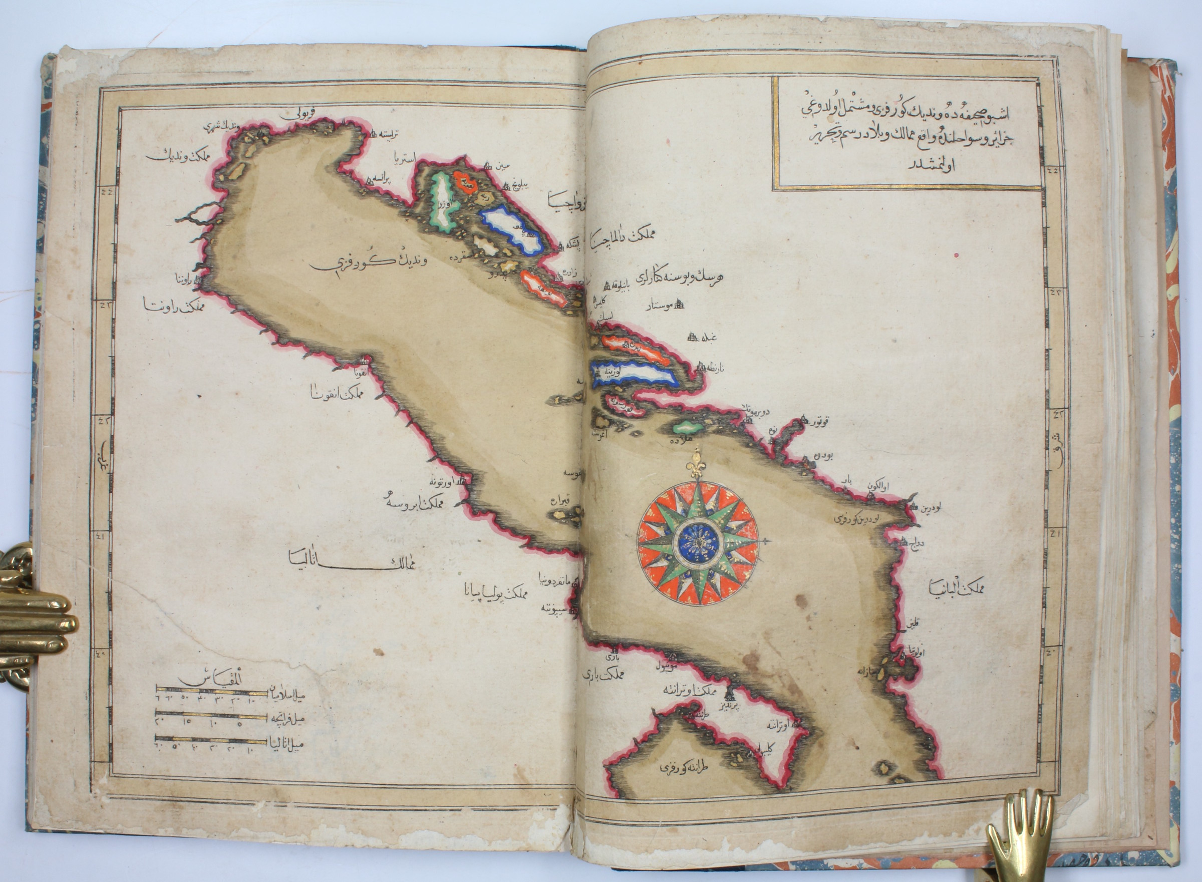
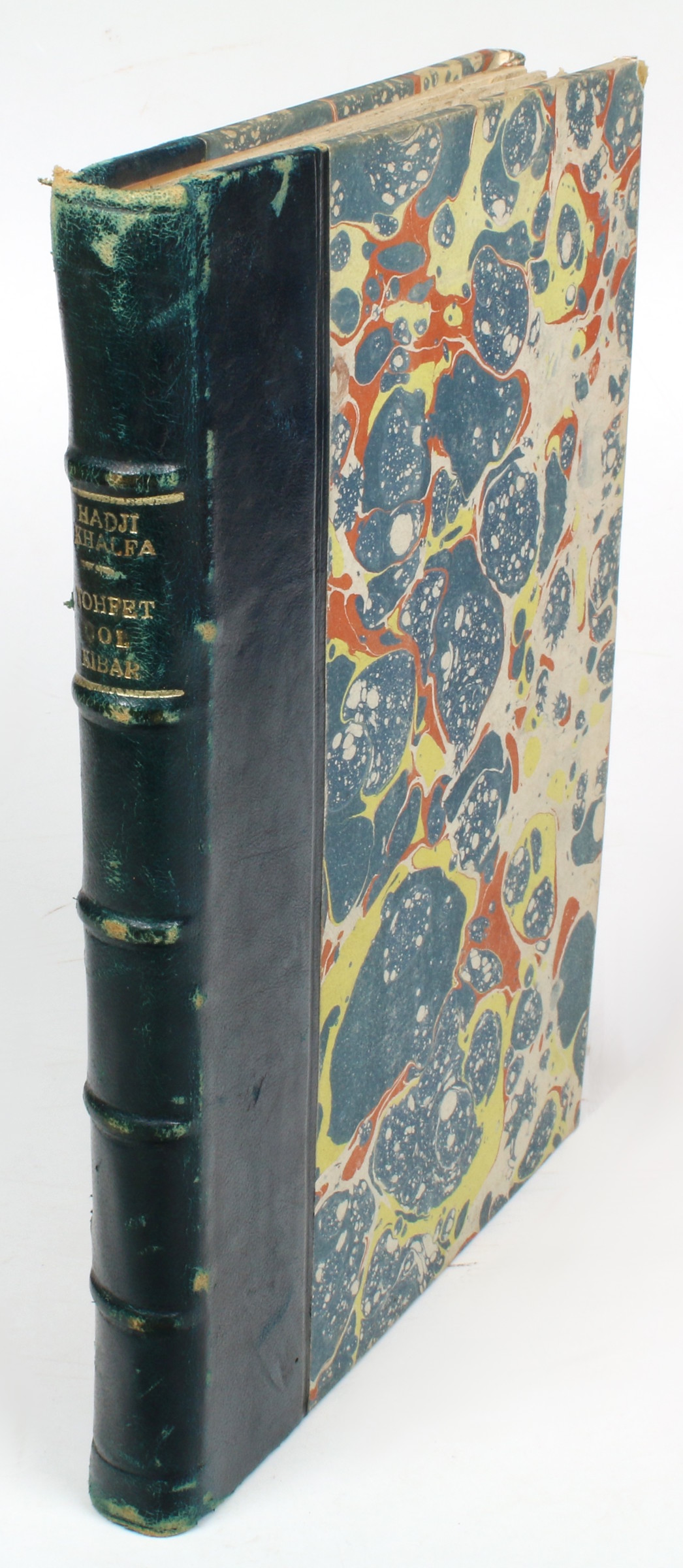
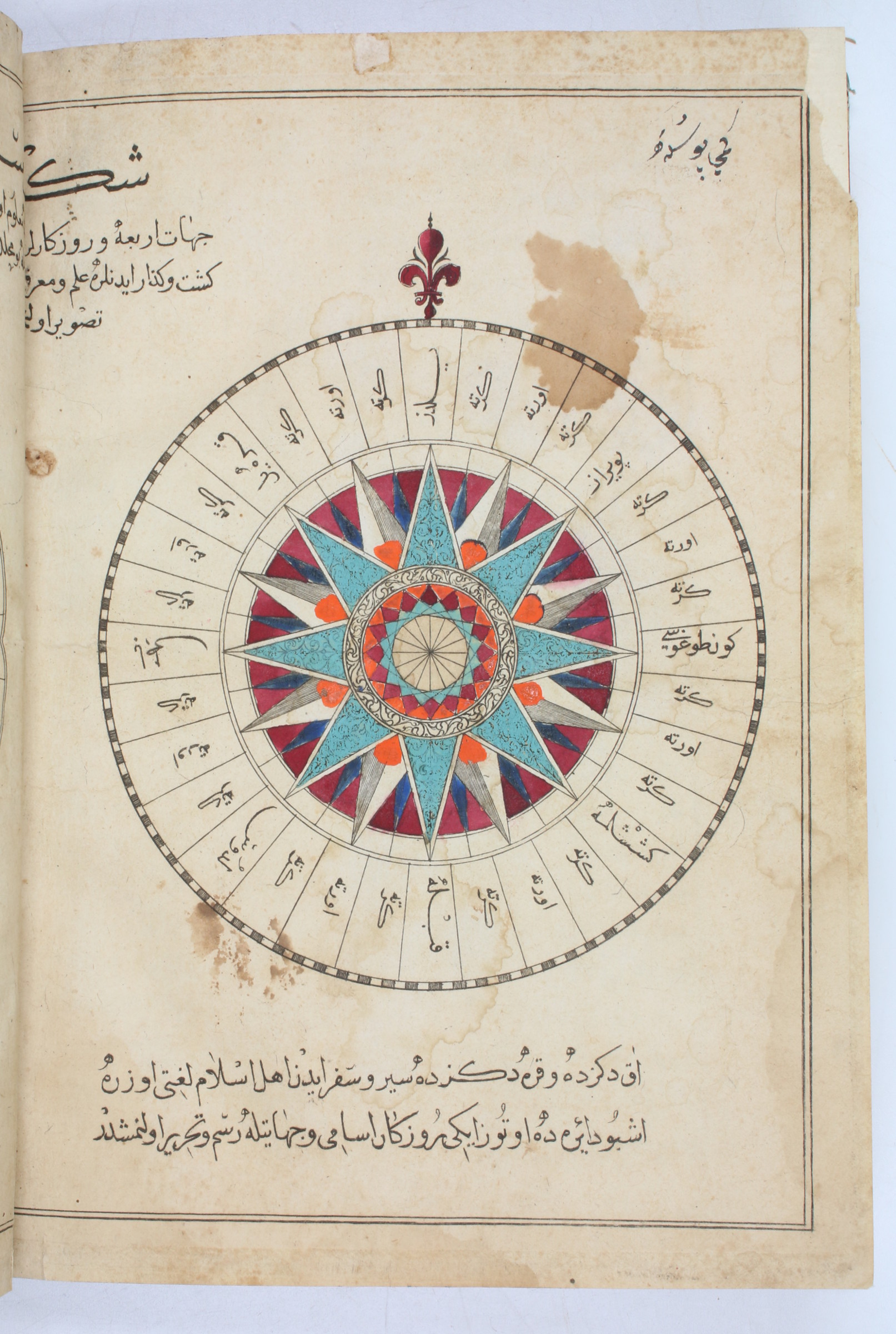
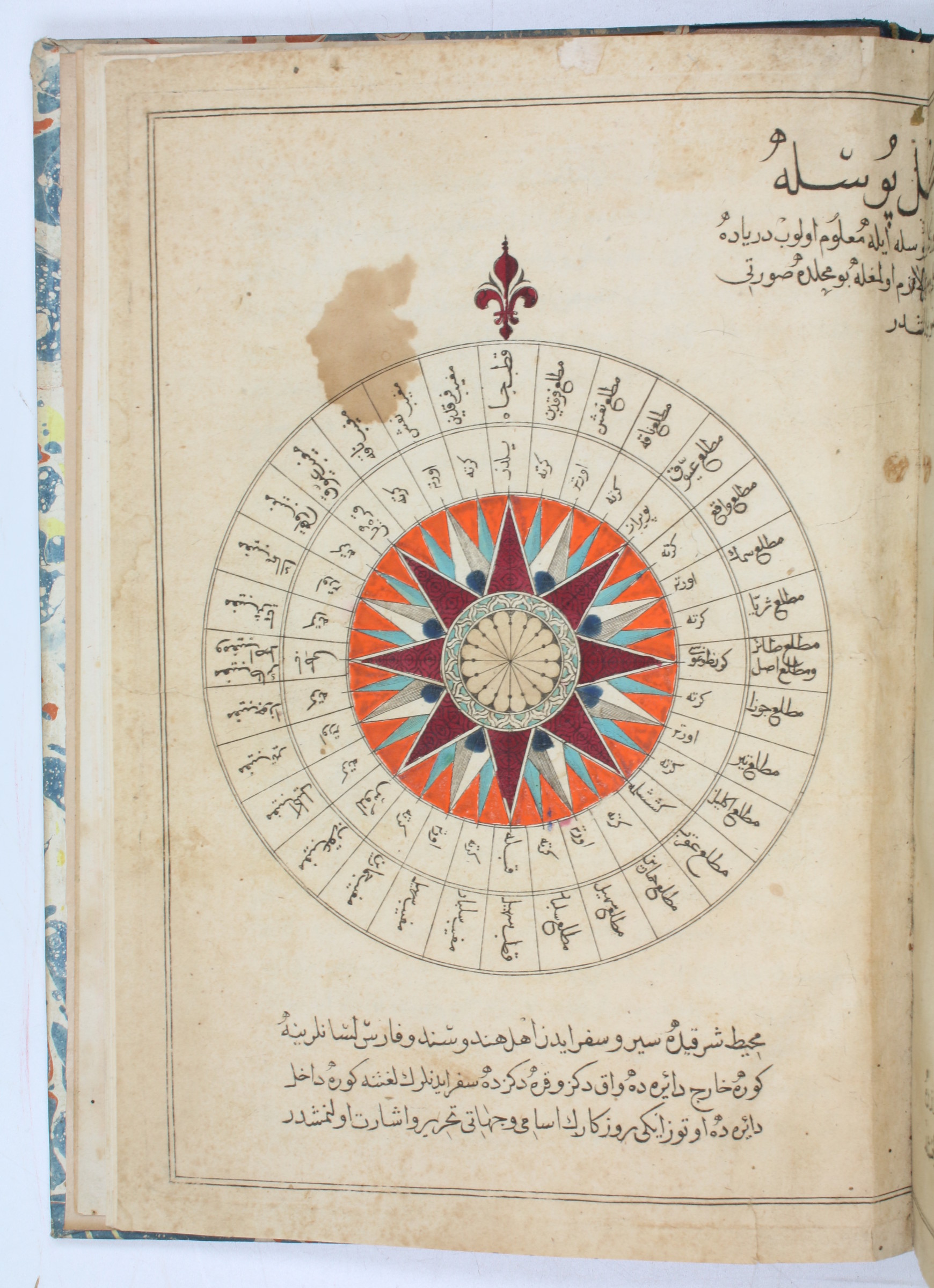
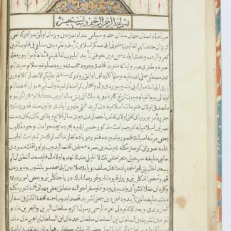
Small folio (185 x 246 mm). (7), 75, (2) ff. With 2 (instead of 4) double-page-sized engraved maps and a double-page-sized compass rose plate, all in contemporary hand colour. Early 20th century half calf over marbled covers with title gilt to spine.
€ 28,000.00
The first illustrated printed Turkish book and the second work from the press of Ibrahim Müteferrika. Composed in 1656, this is a compilation containing in its main section a history of the Ottoman navy and naval wars, from the conquest of Constantinople down to the author's own lifetime. It includes an introductory geographical summary of the conditions around the Balkans and the Black Sea, a chronological list of all Ottoman admirals, a description of the administrative organisation of the navy and dockyards, regulations on sea battles, ships in the Ottoman navy, their equipment and maintenance, together with suggestions for improvement.
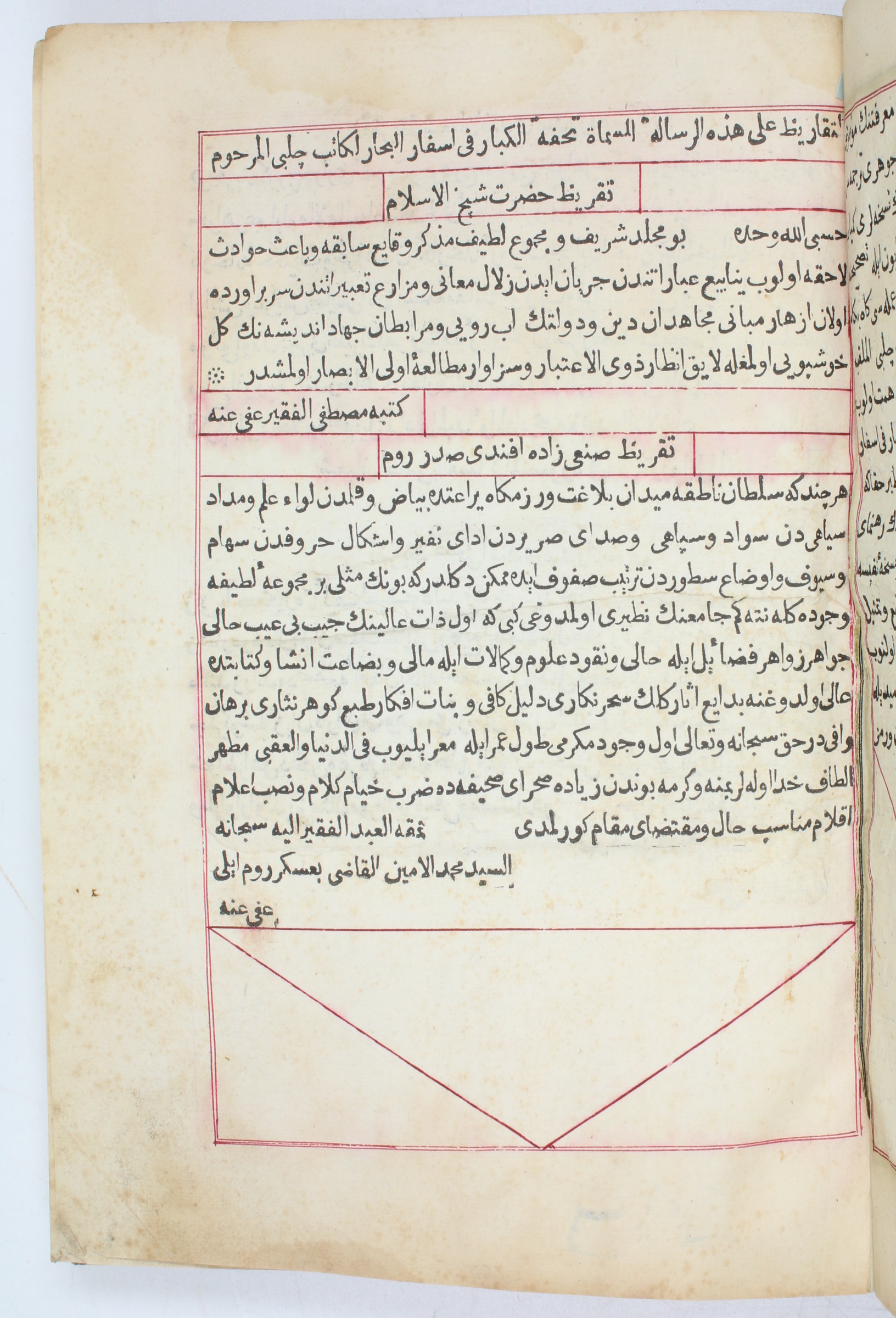
The maps show the Mediterranean and the Adriatic Sea (some edge flaws; rebacked; lacks the map of the Black Sea and the world map). Some browning and waterstaining throughout; ff. 17-18 transposed between ff. 4 and 5, ff. 25-28 between ff. 22 and 23.
Provenance: 20th century Parisian private collection, kept in the family for several generations and dispersed in 2022.
Watson 2. Atabey 898. Özege 21273. Babinger 12. Blackmer 1176. De Sacy III, 5017. Toderini III, p. 25, no. II.

