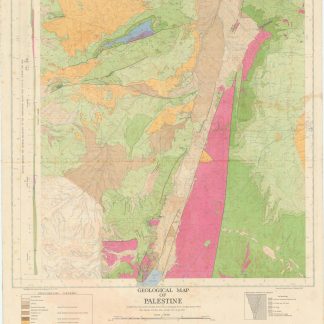
Geology of Palestine
Geological map of Palestine.
Colour-printed map, 889 x 632 mm. Scale 1:250,000.
€ 1,200.00
First edition. A rare, large full-colour geological map of Palestine, sheet 3, partly revised from aerial photographs by the Geological Section. The key lists era and type of rock, from Precambrian grey and red granites to Neogene sandstones and recent dune deposits, and illustrates both known and predicted fault lines across the earthquake-prone region. However, geology was evidently not the sole concern: international and district boundaries are noted along with railways, various roads, wadis, Arab and Jewish villages individually marked, monasteries and convents, khirba ruins and tell mounds, and sheikhs' tombs. This provides a holistic and detailed map showing Palestinian human settlements, water cycles, geological deposits, and transport corridors during the Mandate period.
Fully and professionally backed in cloth.
Related
-
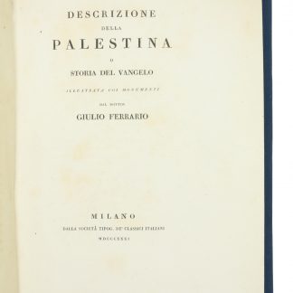
Descrizione della Palestina o storia del Vangelo.Milano, 1831.
€ 1,800.00 -
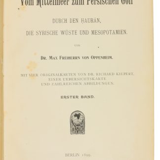
Vom Mittelmeer zum Persischen Golf durch den Hauran, die Syrische Wüste …Berlin, 1899-1900.
€ 8,500.00 -

Reize naar Arabië en andere omliggende landen.Amsterdam & Utrecht, 1776-1780.
€ 6,000.00 -
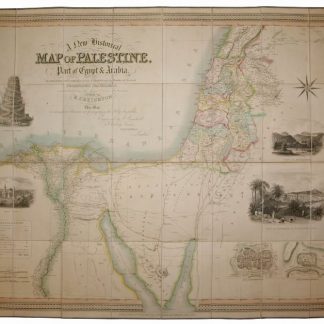
A New Historical Map of Palestine, With Part of Egypt & Arabia. Ancient …London, 1833.
€ 1,500.00