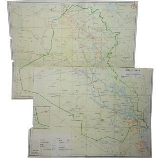
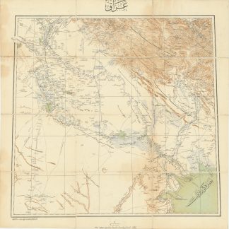
Mapping the oil industry in Iraq and Kuwait
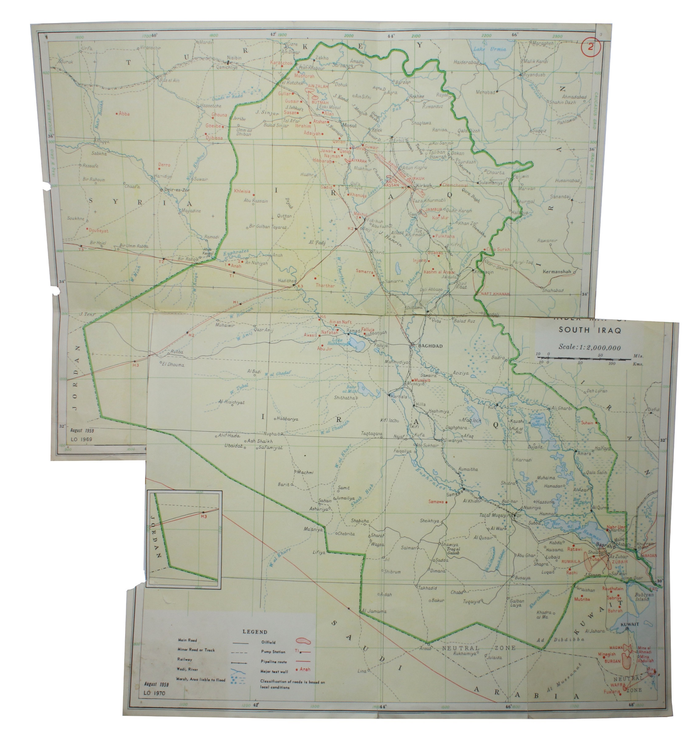
Index Map of Iraq and Kuwait with oil fields.
Colour printed map, max. 520 x 485 mm. Scale 1:2,000,000. Comprising 2 maps joined, with sections cut out to facilitate joining.
€ 450.00
A detailed map of the oil industry in Iraq and Kuwait. Originally printed in August 1959, it was updated in 1969 (north Iraq) and 1970 (south Iraq), and maps many aspects of oil drilling, production, and transport in the region. Large oil fields are shown, including Burgan, Magwa, and Wafra, as well as Kirkuk and Zubair in Iraq. Dozens of major test wells dot the landscape, and pipeline routes with their pump stations stretch across Iraq and Saudi Arabia. The map also shows useful roads and railways as well as geological features like wadis and floodplains. Altogether an interesting summary of oil interests in the region in the early 1970s.
Apparently extracted from an oil industry publication, 2 parts conjoined with packaging tape on reverse, light wear, pin holes, and hole-punches in the margins.
Related
-
Lower Mesopotamia Between Baghdad and the Persian Gulf.London, 1917.
€ 1,500.00 -
Der Nahe Osten. Tornisterschrift des NS.-Führungsstabes der Wehrmacht. …Berlin, 1944.
€ 350.00 -
Iraq.Istanbul, 1915 CE = 1331 Rumi.
€ 3,500.00 -
Voyage de la côte de Malabar à Constantinople, par le Golfe Persique, …Paris, 1820.
€ 7,500.00