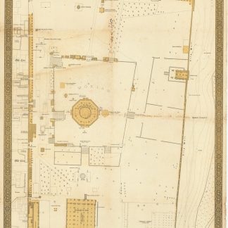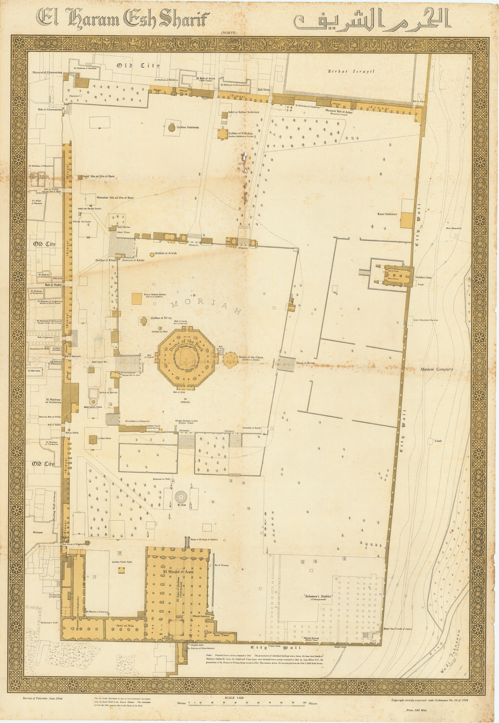
Large and rare map of al-Haram al-Sharif
El Haram Esh Sharif.
Lithographic plan printed in black and sepia, 990 x 690 mm. Scale 1:625. Text in English and transliterated Arabic.
€ 5,000.00
A rare and beautifully rendered plan of one of the holiest areas of Jerusalem, known as al-Haram al-Sharif and the Temple Mount. Encircled in a decorative lithograph border, the top edge of which replicates part of an ornamental inscription from the south wall of the Aqsa Mosque, with the other sides being derived from the 16th-century tiles in the Dome of the Rock. Captioned in English and transliterated Arabic, the map reveals the ground-plan of individual buildings, details of the lower level of "Solomon's Stables", the Western Wall, the Arab Cemetery, and the beautiful Al-Aqsa Mosque. Even the stands of trees, still visible today, appear with careful detail along the paths and walls. The map itself was prepared largely from a survey conducted in 1942, but combines additional mapping information from a survey completed in 1865 by Captain Wilson and a revision of the Al Aqsa plan from 1943.
Light foxing, a little staining and chipping along one crease; altogether in good condition. An uncommon find, with only two listed on OCLC (at Oxford and the Consejo Superior de Investigaciones Científicas).
Related
-
![Malerische Ansichten aus dem Orient, gesammelt auf der Reise Sr. Hoheit des Herrn Herzogs Maximilian in Bayern nach Nubien, Aegypten, Palaestina, Syrien und Malta im Jahre 1838 [...]. Vues pittoresques de l'Orient [...].](https://inlibris.com/wp-content/uploads/2020/05/img-bn44580-324x324.jpg)
Malerische Ansichten aus dem Orient, gesammelt auf der Reise Sr. Hoheit …Munich/Paris/Leipzig, 1839-1840.
€ 35,000.00 -
![Malerische Ansichten aus dem Orient, gesammelt auf der Reise Sr. Hoheit des Herrn Herzogs Maximilian in Bayern nach Nubien, Aegypten, Palaestina, Syrien und Malta im Jahre 1838 [...]. Vues pittoresques de l'Orient [...].](https://inlibris.com/wp-content/uploads/2020/05/img-bn44443-324x324.jpg)
Malerische Ansichten aus dem Orient, gesammelt auf der Reise Sr. Hoheit …München/Paris/Leipzig, 1839-1840.
€ 85,000.00 -
Descrizione della Palestina o storia del Vangelo.Milano, 1831.
€ 1,800.00 -

Reize naar Arabië en andere omliggende landen.Amsterdam & Utrecht, 1776-1780.
€ 6,000.00