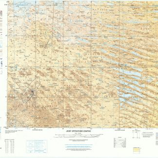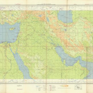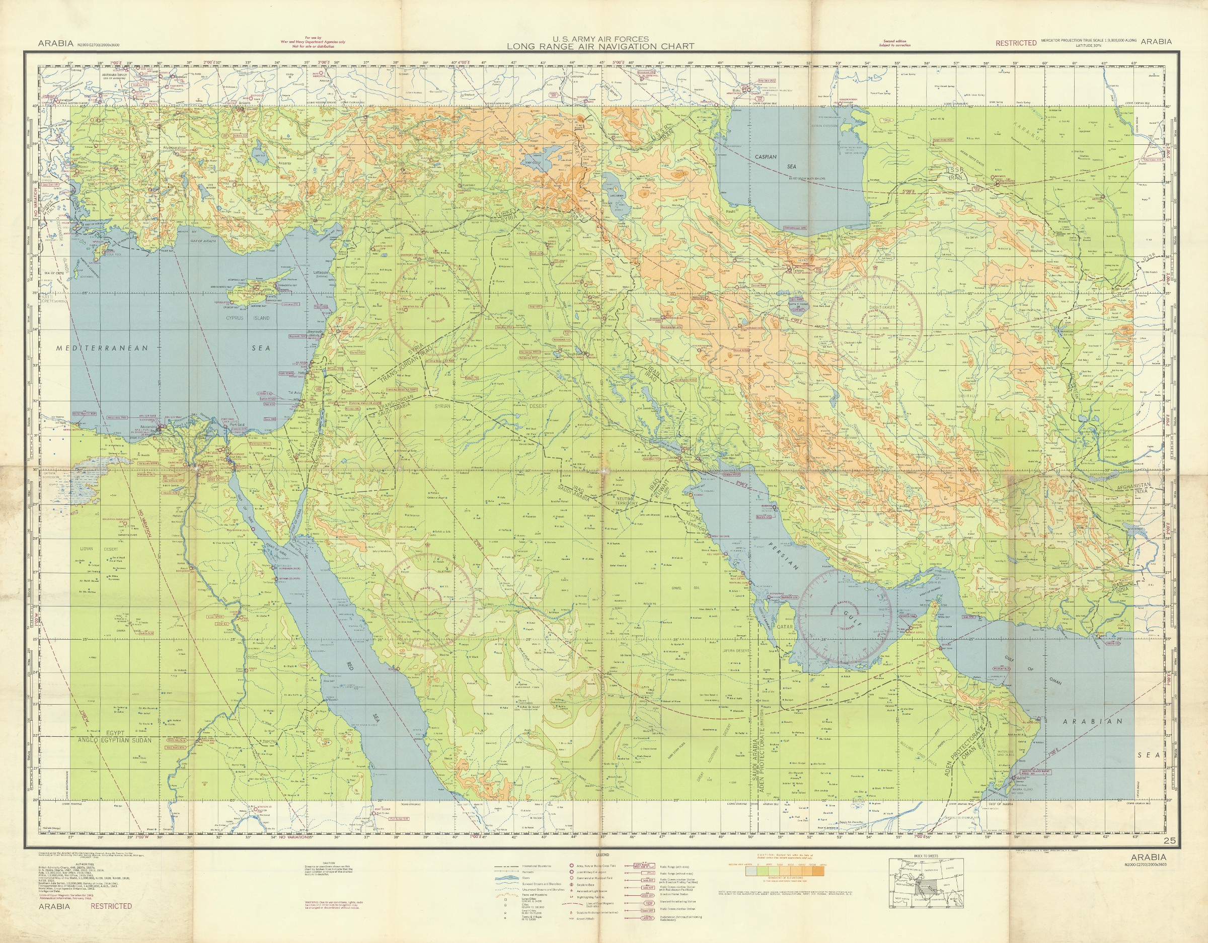
Large WWII map of the Arabian Peninsula for pilots
US Army Air Forces. Long Range Navigation Chart. Arabia, Restricted.
Colour-printed map, 1317 x 1000 mm. Scale 1:3,000,000.
€ 2,500.00
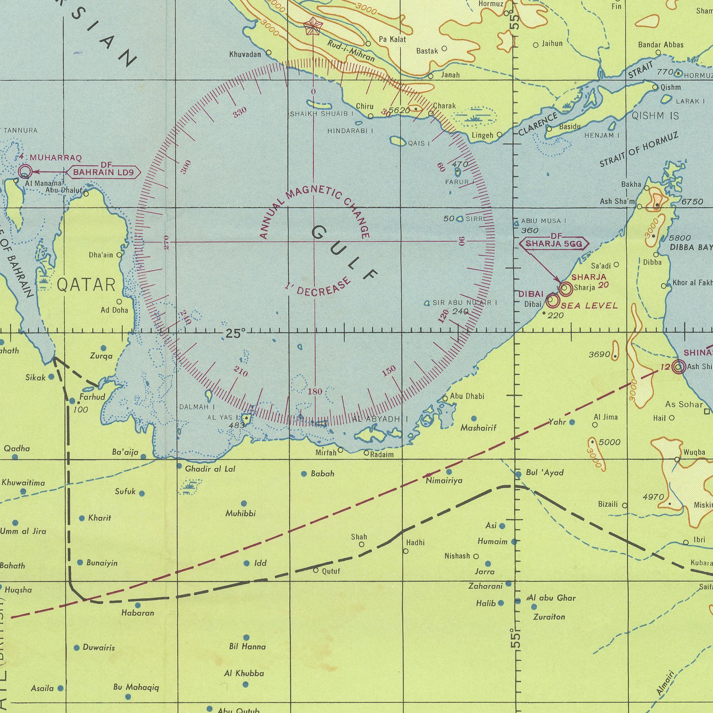
An impressive and large long-range navigation cart in use by U.S. military pilots during WWII. The chart covers a vast geographical area: west past the Suez Canal in Egypt; north as far as the Iranian/USSR boarder on the Caspian Sea, and east beyond the Iranian/Afghanistan boarder, encompassing the whole of the Arabian Peninsula and the Gulf. Marked "Restricted" to the use of U.S. officers, the chart was produced "for use in day light" with the warning that due to wartime conditions "lights, radio facilities, and other aids to navigation may be changed or discontinued without notice".
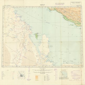
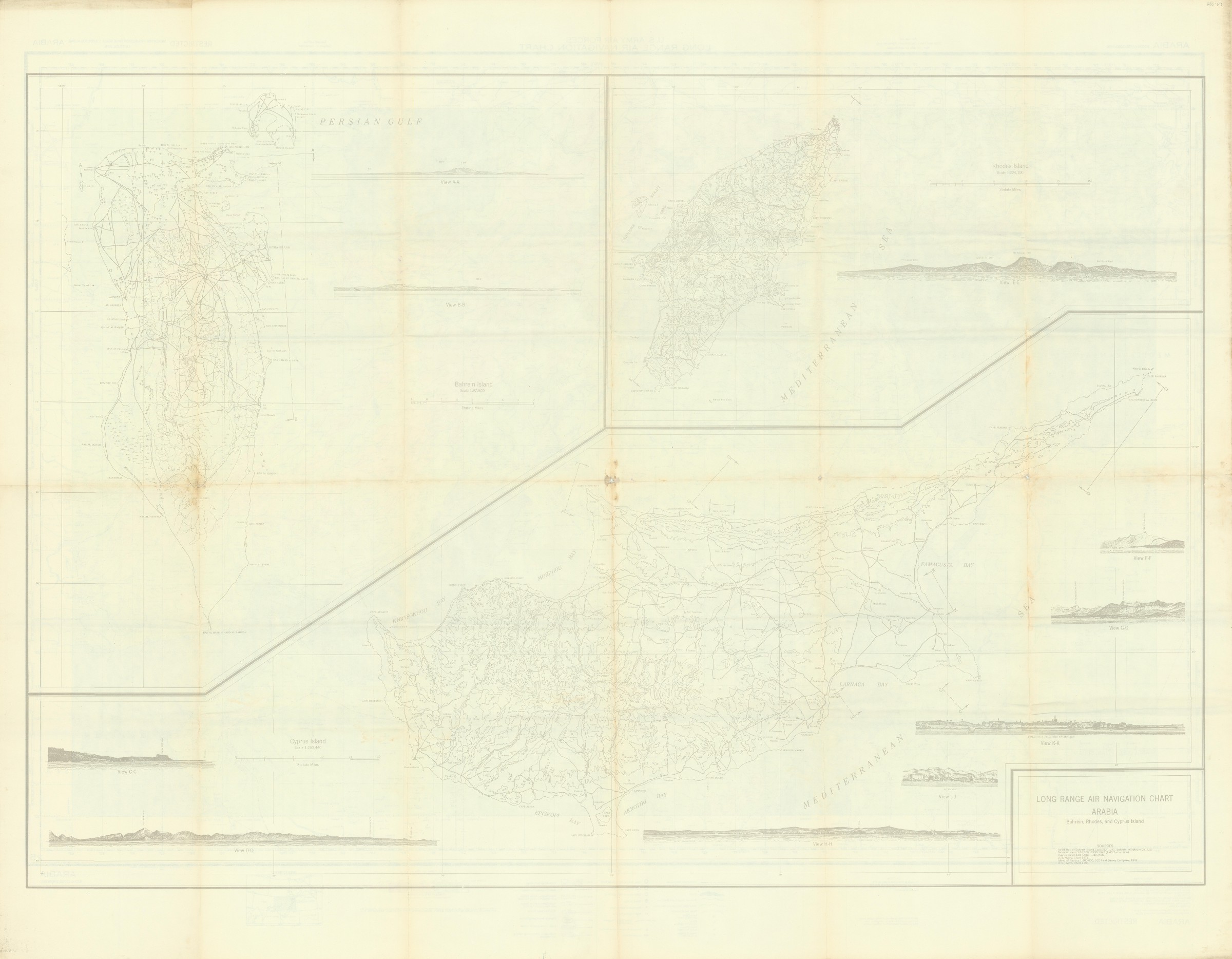
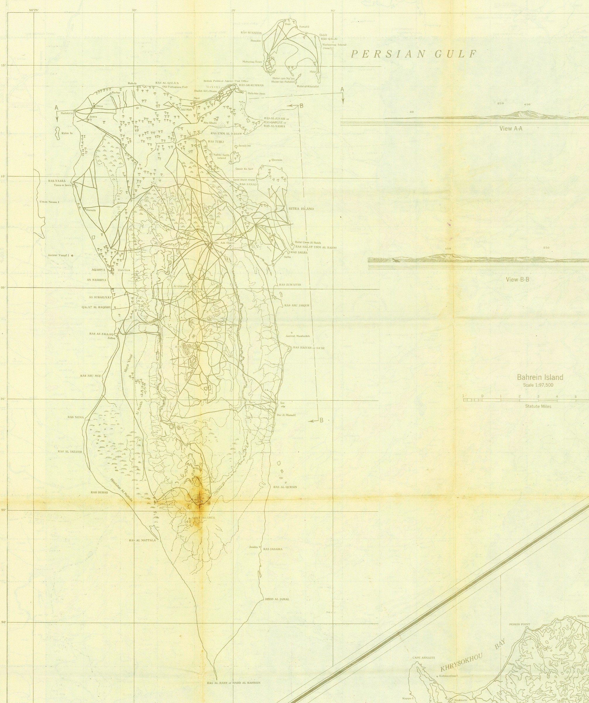
Verso shows 3 views: Bahrein Island (1:97,500), Cyprus Island (1:253,440), and Rhodes Island (1:224,100) alongside 10 smaller sectional views capturing features of their coastlines.
Light wear, quite well preserved.