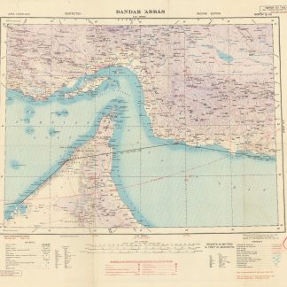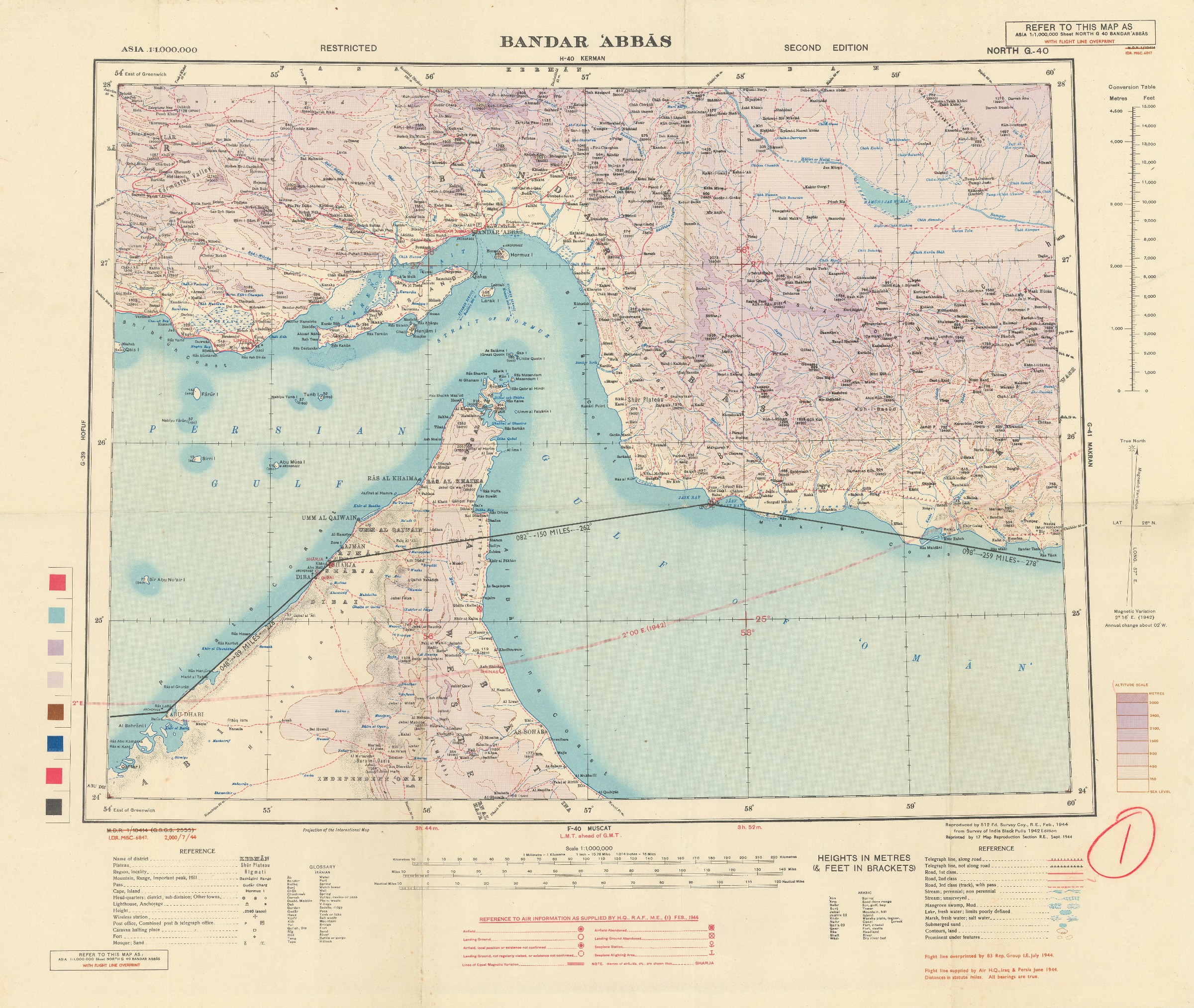
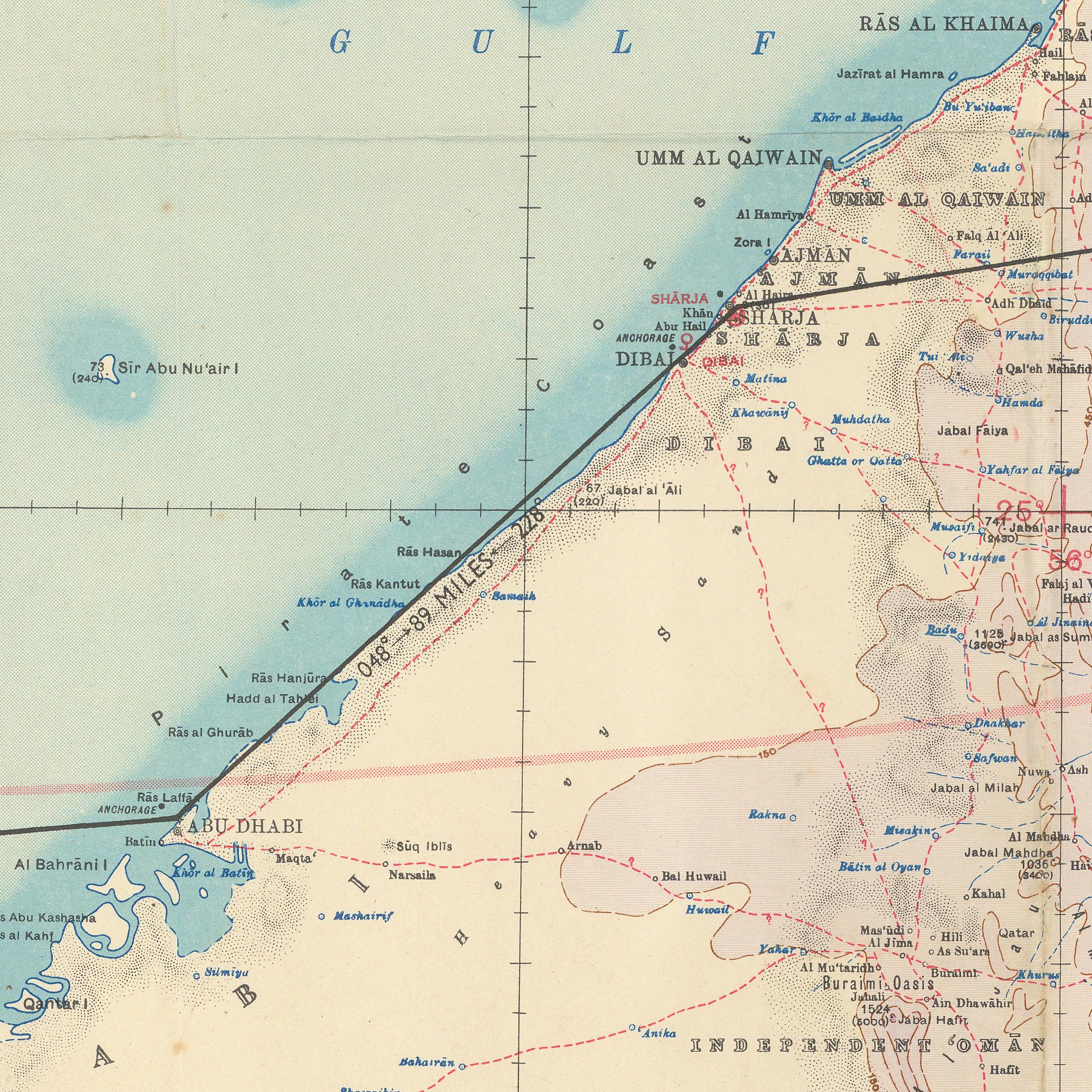
Asia 1:1,000,000. Bandar 'Abbas. Sheet North G-40.
[London, War Office], 1944.
Original colour lithographed map. 475 x 615 mm on 630 x 758 mm (sheet). Scale 1:1,000,000. Folded.
€ 1,000.00
Rare second edition of this "restricted" wartime map of the Strait of Hormuz with flight line overprint. The map covers part of Oman, a large section of the coastline of today's United Arab Emirates (including Abu Dhabi, Dubai, Sharjah and Ras al Khaimah), and Hormuz Island. Overprinted with Royal Air Force information on functional and abandoned airfields, landing grounds, etc., and flight lines, in addition to detailed information on local terrains, cities, tribal names, oil wells and pipelines.
Numbered "1" by hand with red pencil. In very good condition.
References
Cf. OCLC 634794459 and 163318803.
Related
-
US Army Air Forces. Long Range Navigation Chart. Arabia, Restricted.Washington, D.C., 1944.
€ 2,500.00 -
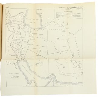
Entwurf! Militärgeographische Angaben über Iran: Ortschaftsverzeichnis; …Berlin, 1943.
€ 6,500.00 -
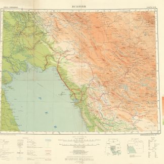
Asia 1:1,000,000. Bushire. Sheet North H-39.London, 1918.
€ 950.00 -

Southwestern Asia, Series K502.Washington DC, 1956-1961.
€ 3,500.00