Mapping the Muslim world
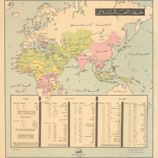
Map of the Islamic World.
[Kuwait], 1968.
Colour lithograph map, 614 x 585 mm.
€ 750.00
A colour-coded Kuwaiti folding map from 1968, showing the modern Muslim world as it stretches across vast areas of Africa, Europe, and Asia. The key identifies countries in green as those states where Muslims make up between 70% and 100% of the population; in yellow countries Muslims make up 40% to 70% of the population, and in pink countries Muslims make up 10% to 20% of the total population. The map key also estimates population ratios and total numbers of Muslims in Europe, Asia, America, and Australia, and in the world overall.
Some gentle creasing, colours still bright and clear. An interesting snapshot of modern Muslim history.
Related
-
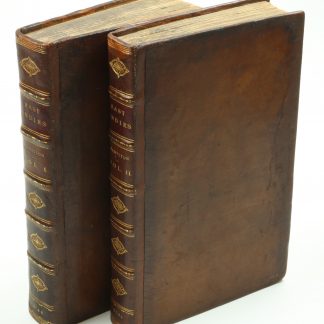
A New Account of the East Indies. Giving an exact and copious description …London, 1744.
€ 9,500.00 -
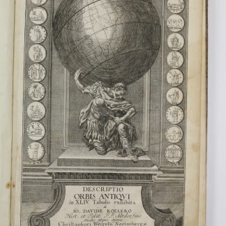
Descriptio orbis antiqui in XLIV tabulis exhibita.Nuremberg, ca. 1720.
€ 3,800.00 -
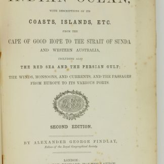
A Directory for the Navigation of the Indian Ocean [...]. Second Edition. …London, 1870.
€ 3,000.00 -
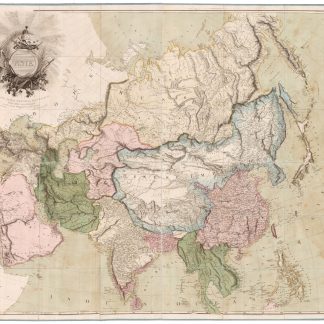
Asia. To Major James Rennell, Esqr. F.R.S. &c. &c. This Map is …London, 1801.
€ 12,500.00