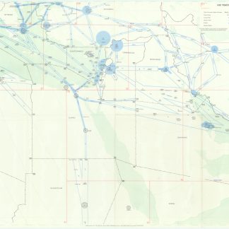
RAF map of 1950s airspace above the Arabian Gulf and beyond
Air Traffic Control Chart. Middle East.
Colour-printed map, 845 x 545 mm.
€ 850.00
An RAF air traffic control chart from the early days of regular civilian flight in the Middle East. Meant entirely for the use of pilots and controllers, air traffic control charts do not show international boundaries or geographical information beyond coastlines, and instead are sectioned into flight information region boundaries, control and advisory zones, civilian flight paths, and various beacons, radio ranges, and other compulsory reporting points. RAF pilots did not always use civilian airspace, and would use a map such as this to avoid wandering into heavily trafficked areas and upsetting carefully arranged and scheduled flight paths. However, pilots were expected to announce their position to the relevant local authority on the ground, and used maps like this one to know to whom to report, or to ask for information on weather, emergency landing options, and other daily necessities. For example, a pilot flying over the Arabian Gulf would consult this particular map and see that they were in the boundary of air traffic control in Bahrain, regardless of the true international boundaries below, whether they were flying over certain parts of Saudi Arabia, the sheikhdoms which would become the United Arab Emirates, Qatar, or Bahrain itself.
Only the most minor hints of wear; well-preserved.
Related
-

Flying is Fun with Gulf Air.Singapore, ca. 1970.
€ 750.00 -
[The British Royal Navy in the Arabian Gulf and Indian Ocean].Various places, 1931-1932.
€ 65,000.00 -
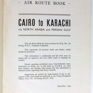
Air Route Book. Cairo to Karachi via North Arabia and Persian Gulf (Cairo …Cairo, 1943.
€ 3,500.00 -
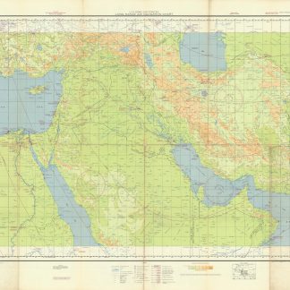
US Army Air Forces. Long Range Navigation Chart. Arabia, Restricted.Washington, D.C., 1944.
€ 2,500.00