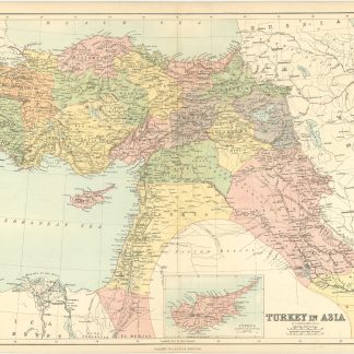
Turkey in Asia.
423 x 582 mm. Engraved and colour-printed map.
€ 300.00
Coloured map of the Levant, Anatolia, Syria, Lebanon, Palestine, Iraq and Cyprus; from the Caucasus in the North to Kuwait and the Arabian Gulf in the South, from Crete eastward to the Caspian Sea. With an inset map of Cyprus. Shows excellent detail, including towns, rivers, mountains, deserts, roads, railroads etc.
Published in James Bryce's "Library Atlas" (London, Glasgow and Edinburgh, William Collins, 1876).
John George Bartholomew (1860-1920) came from a celebrated line of map-makers. Under his administration the family business became one of the top operations in its field, introducing the use of coloured contour layer maps. He also anticipated the needs of late 19th and early 20th century travellers by publishing street maps of major cities, cycling maps, railway timetable maps, and road maps for automobiles.
Centrefold reinforced on the verso. Slightly duststained, otherwise very well preserved.
Related
-
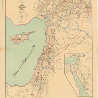
Road and rail map of Syria and Lebanon.Ottoman, 1911 CE = 1327 Rumi.
€ 3,500.00 -
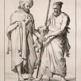
Voyage dans le Levant en 1817 et 1818.Paris, 1819.
€ 35,000.00 -
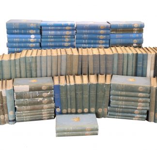
The complete series of the first 200 works issued by the Hakluyt Society.London, 1847-1958.
€ 85,000.00 -

Reize naar Arabië en andere omliggende landen.Amsterdam & Utrecht, 1776-1780.
€ 6,000.00