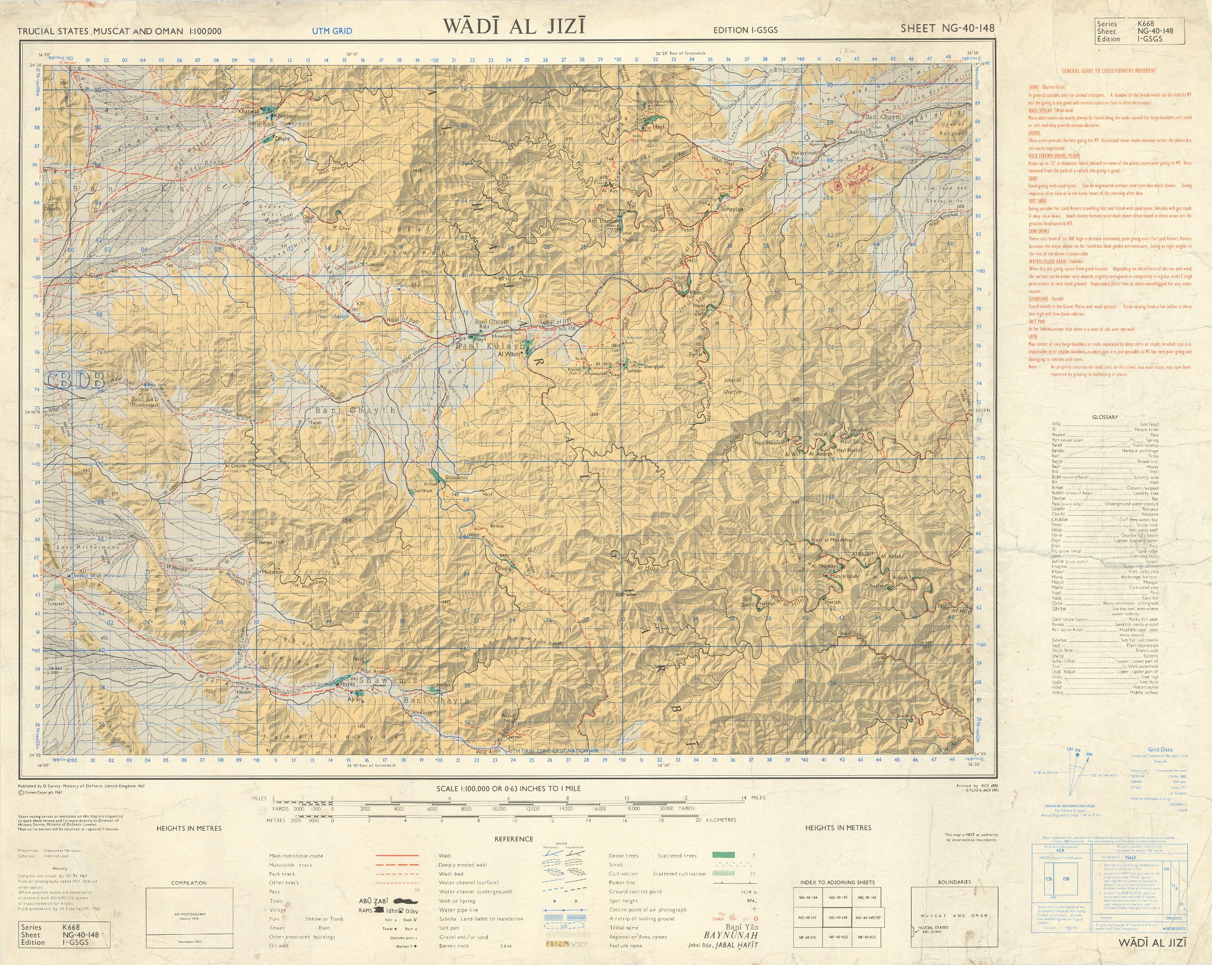
Topography mapped at the Abu Dhabi-Oman border
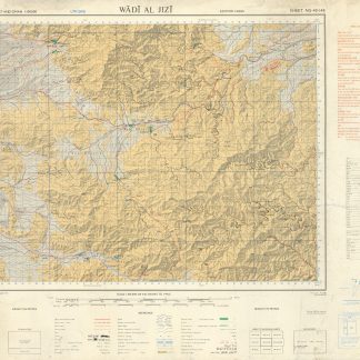
Trucial States, Muscat and Oman. Wadi Al Jizi. Series K668. Edition I-GSGS. Sheet NG-40-148.
Colour-printed map, 517 x 660 mm. Scale 1:100,000.
€ 2,800.00
Scarce pre-UAE topographical map of the border region between Oman and the Al Ain region of Abu Dhabi, not listed in any institutions on OCLC. Compiled and drawn by SPCRE from aerial photography dated 1957 and 1958, the map shows a small section of the outskirts of the city of Al Ain in Abu Dhabi, and otherwise focuses on the Oman side of the border, stretching along the East-West path of Wadi Al Jizi. This important oil and mineral-rich region was the focus of much regional interest; the nearby oasis of Al Buraimi had been previously claimed by both Saudi Arabia and Oman.
Across the geological landscape, the cartographers carefully note settlements and the general locations of local tribes. In the upper right, the Lasail copper mine is noted in Arabic and English (latter spelled "Alssail") and dated 1979; one may presume this map continued to be in active use in tracing the natural resources of the area well into the next decade.
Some marginal smudging and creasing; professionally rebacked and reinforced.
Related
-
Ha-mizrah ha-karov (The Near East).Tel Aviv, 1958.
€ 3,500.00 -

Persian Gulf. ONC-H-6/7. Operational navigation chart.St. Louis, 1967.
€ 1,500.00 -

Iran (Persia) and Iraq.London, 1930s.
€ 650.00 -
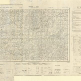
Trucial States, Muscat and Oman. Wadi Al Jizi. Series K668. Edition I-GSGS. …United Kingdom, 1967.
€ 2,000.00