Topography mapped at the Abu Dhabi-Oman border
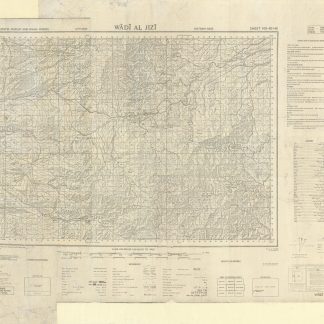
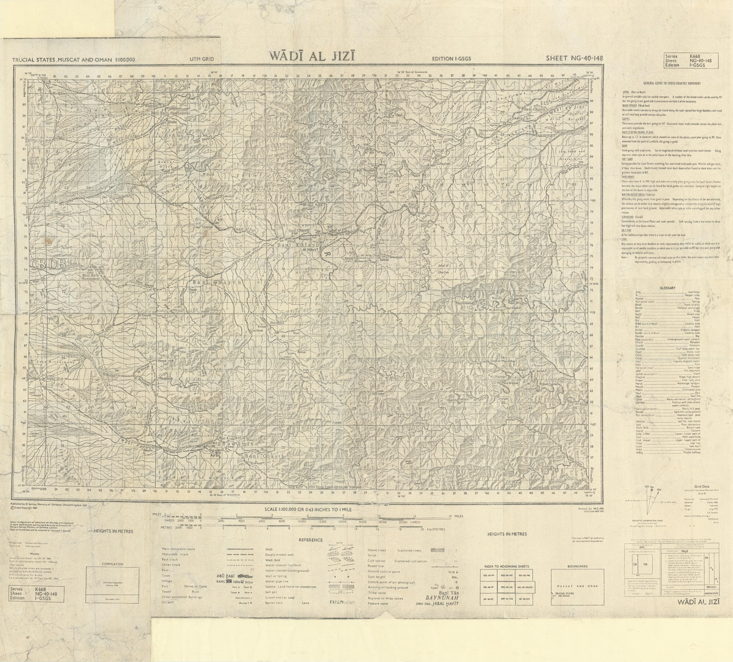
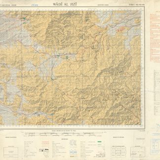
Trucial States, Muscat and Oman. Wadi Al Jizi. Series K668. Edition I-GSGS. Sheet NG-40-148.
Photoprinted map in black and white, 590 x 665 mm. Scale 1:100,000.
€ 2,000.00
A watermarked "Oxford Duplicate" of this scarce pre-UAE topographical map of the border region between Oman and the Al Ain region of Abu Dhabi, the original not listed in any institutions on OCLC. Compiled and drawn by SPCRE from aerial photography dated 1957 and 1958, the map shows a small section of the outskirts of the city of Al Ain in Abu Dhabi, and otherwise focuses on the Oman side of the border, stretching along the East-West path of Wadi Al Jizi. This important oil and mineral-rich region was the focus of much regional interest; the nearby oasis of Al Buraimi had been previously claimed by both Saudi Arabia and Oman. Across the geological landscape, the cartographers carefully note settlements and the general locations of local tribes.
Some marginal creasing and repaired closed tears; professionally rebacked and reinforced.
Related
-
Trucial States, Muscat and Oman. Wadi Al Jizi. Series K668. Edition I-GSGS. …United Kingdom, 1967.
€ 2,800.00 -
Al Sharjah and Ras Al Khaimah Emirates. Oman Coast. Arabian Gulf. Synthetic …Paris, 1968.
€ 5,000.00 -

Qatar Geological Map (H.H. the Ruler of Qatar Sheet No. 1). (With): Geological …Doha & Paris, August 1970.
€ 8,500.00 -
![Geographic Map of the Central Persian Gulf Quadrangle Kingdom of Saudi Arabia. Miscellaneous Geologic Investigations Map I-209 A [and] B.](https://inlibris.com/wp-content/uploads/2020/05/img-bn49619-324x324.jpg)
Geographic Map of the Central Persian Gulf Quadrangle Kingdom of Saudi …Washington, D.C., 1959-1961 CE = 1378-1380 H.
€ 9,500.00