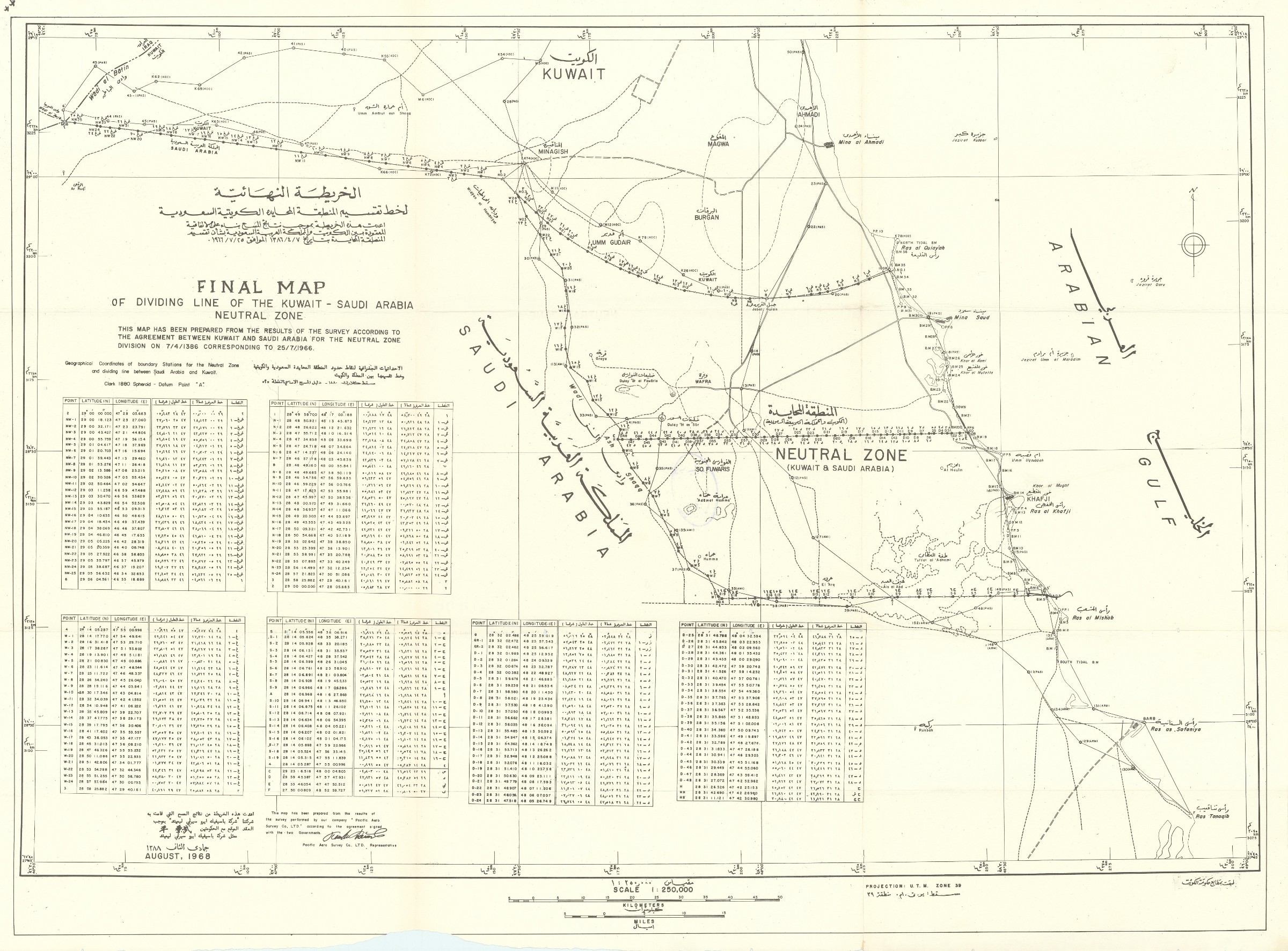
Showing the future border
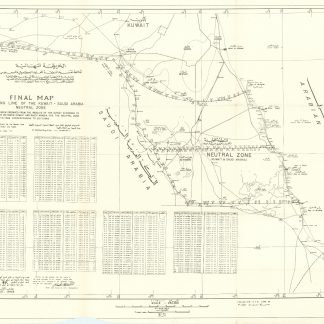
Final map of dividing line of the Kuwait - Saudi Arabia Neutral Zone.
565 x 780 mm. Scale 1:250,000.
€ 3,500.00
Showing the future border, then the dividing line through the Saudi-Kuwaiti Neutral Zone, a 5,770 km² area between Saudi Arabia and Kuwait that was left undefined when the border was established by in 1922. Partitioning negotiations finally commenced when the rulers of both countries met and decided, in October 1960, that the Neutral Zone should be divided. On 7 July 1965, the two governments signed an agreement, which took effect on 25 July 1966, to partition the Zone adjoining their respective territories. Ratification followed on 18 January 1970. "This map has been prepared from the results of the survey according to the agreement between Kuwait and Saudi Arabia for the Neutral Zone Division on 7/4/1386 corresponding to 25/7/1966". The Gulf is labelled "Arabian Gulf".
An indistinct stamp on verso. A tear to one fold; lower edge irregular. Rare; not in OCLC.
Related
-
Arabien und Syrien in historischer, geographischer, wissenschaftlicher, …Berlin & Leipzig, 1799.
€ 1,250.00 -
![The travels of the Jesuits in Ethiopia: containing [...] travels in Arabia Felix, wherein many things of that country [...] are treated of, as a particular description of Aden, Moca, and several other places [...].](https://inlibris.com/wp-content/uploads/2020/05/img-bn45896-324x324.jpg)
The travels of the Jesuits in Ethiopia: containing [...] travels in Arabia …London, 1710.
€ 25,000.00 -
![Dawlatu al-amarat al-arabiata al-mutahidata wa-jiranuha [The United Arab Emirates and their neighbours]. (With:) Shajarat nasab al- a ilat al-hakimah wa-al-khara it [Family trees of the ruling families and maps].](https://inlibris.com/wp-content/uploads/2025/09/img-bn68106-324x324.jpg)
Dawlatu al-amarat al-arabiata al-mutahidata wa-jiranuha [The United Arab …Kuwait, 1981.
€ 3,500.00 -
Les mystères du désert. Souvenirs de voyages en Asie et en Afrique.Paris, 1859.
€ 950.00