[Levant. 1:50,000].
25 colour-printed topographic maps, sheets ca. 80 x 57 cm each or smaller. Constant ratio linear horizontal scale 1:50,000.
€ 2,800.00
A rare set of 25 maps from the French military's atlas of the Levant, produced from the mid-1920s until the Second World War. Each highly detailed sheet is based on a quarter degree grid cell. The maps in the present ensemble focus on the environs of Aleppo (9 sheets), Latakia and Jableh (2 sheets), Hama and Homs (5 sheets), and the area north, south, and east of Beirut, with Sidon and the outskirts of Damascus (9 sheets). Considered products of military intelligence by the French government, the maps fell into German hands when Germany invaded France in 1940. The present maps were accessioned by the Geographical Institute of the University of Berlin during the early 1940s and bear the Institute's stamps and pencil shelfmarks.
Individual titles: Alep, Amouk, Batroun, Djeble, Djezzine, El Hammam, Halba, Hama Ouest, Harim, Homs, Jabal es Smane, Jebail, Kartaba, Lattaquie, Ouest D'El Bab, Ouroum es Soughra, Rachaya-Nord, Rastane-Mecherfeh, Rayak, Saida, Sfire, Tell Kalakh, Tell Rifat, Zahle, Zebdani.
Occasional edge and corner flaws, some wrinkling, duststaining and minor chips and tears to margins, but altogether well preserved.
OCLC 49951650.
Related
-
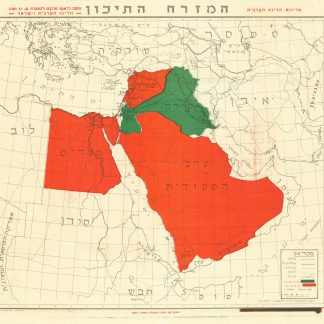
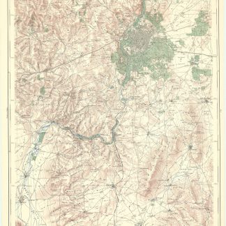
Ha’Mizrach Ha-Tichon (The Middle East) Ha’Liga Ha’Aravit (The Arab …Kfar Monash, 1949.
€ 2,800.00 -
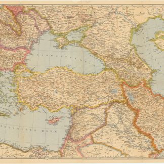
Der Nahe Osten. Tornisterschrift des NS.-Führungsstabes der Wehrmacht. …Berlin, 1944.
€ 350.00 -

Reisen oder Anmerkungen verschiedene Theile der Barbarey und der Levante …Leipzig, 1765.
€ 2,000.00 -
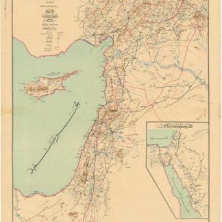
Road and rail map of Syria and Lebanon.Ottoman, 1911 CE = 1327 Rumi.
€ 3,500.00