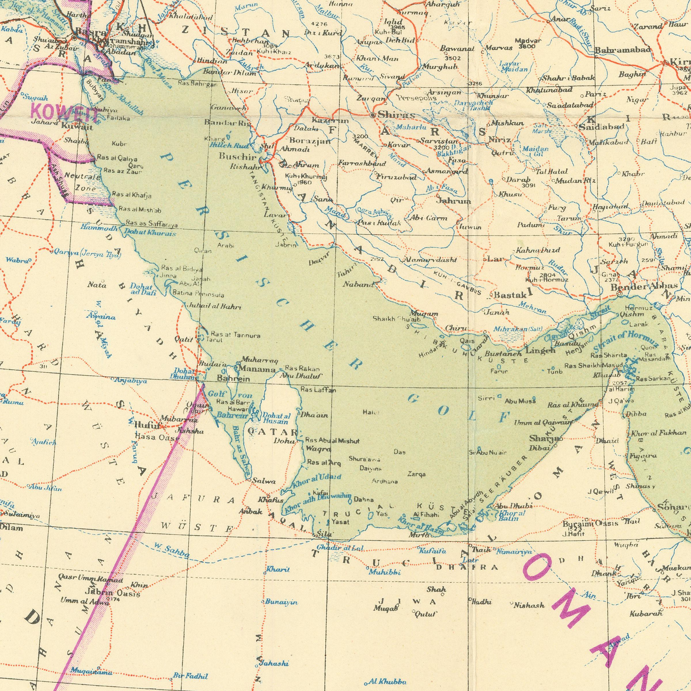
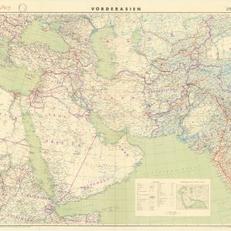
Military wall map of Arabia
Vorderasien. 1:5,000,000.
[Berlin], German General Staff, 1941.
Colour-printed map, ca. 124 x 97 cm. Constant ratio linear horizontal scale 1:5,000,000. Conic projection.
€ 500.00
Rare German military wall map of the Near and Middle East, produced during the Second World War for the German General Staff. Marked as "First special edition, for service use only!". Shows international and administrative boundaries, as well as railways, roads, tracks, telegraph lines, and oil pipelines.
Traces of folds; a few minor edge chips. Formerly in the collections of the Geographical Institute of the University of Berlin with the Institute's stamp and pencil shelfmark.
References
OCLC 49986920.


