Rare map of Jerusalem
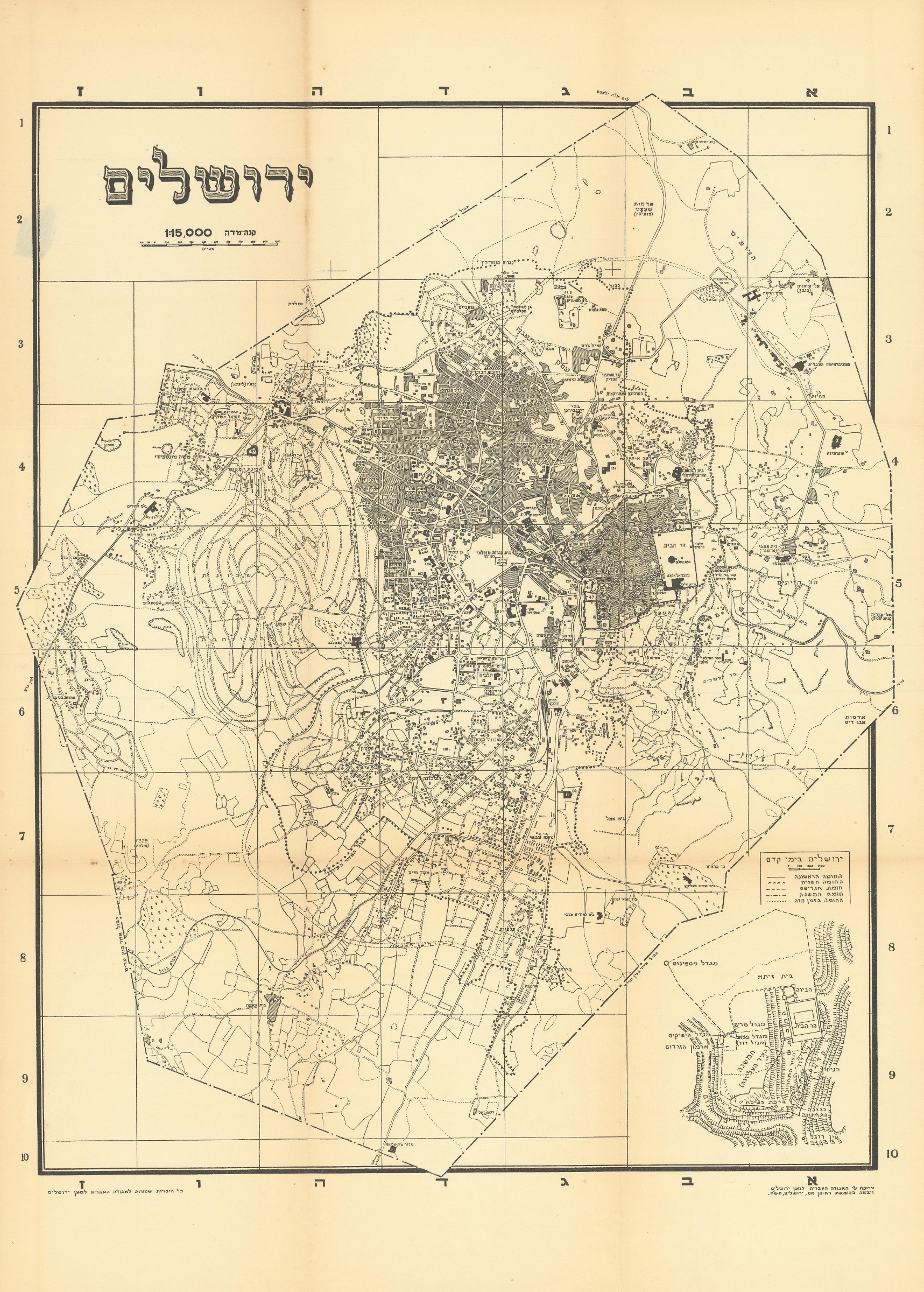
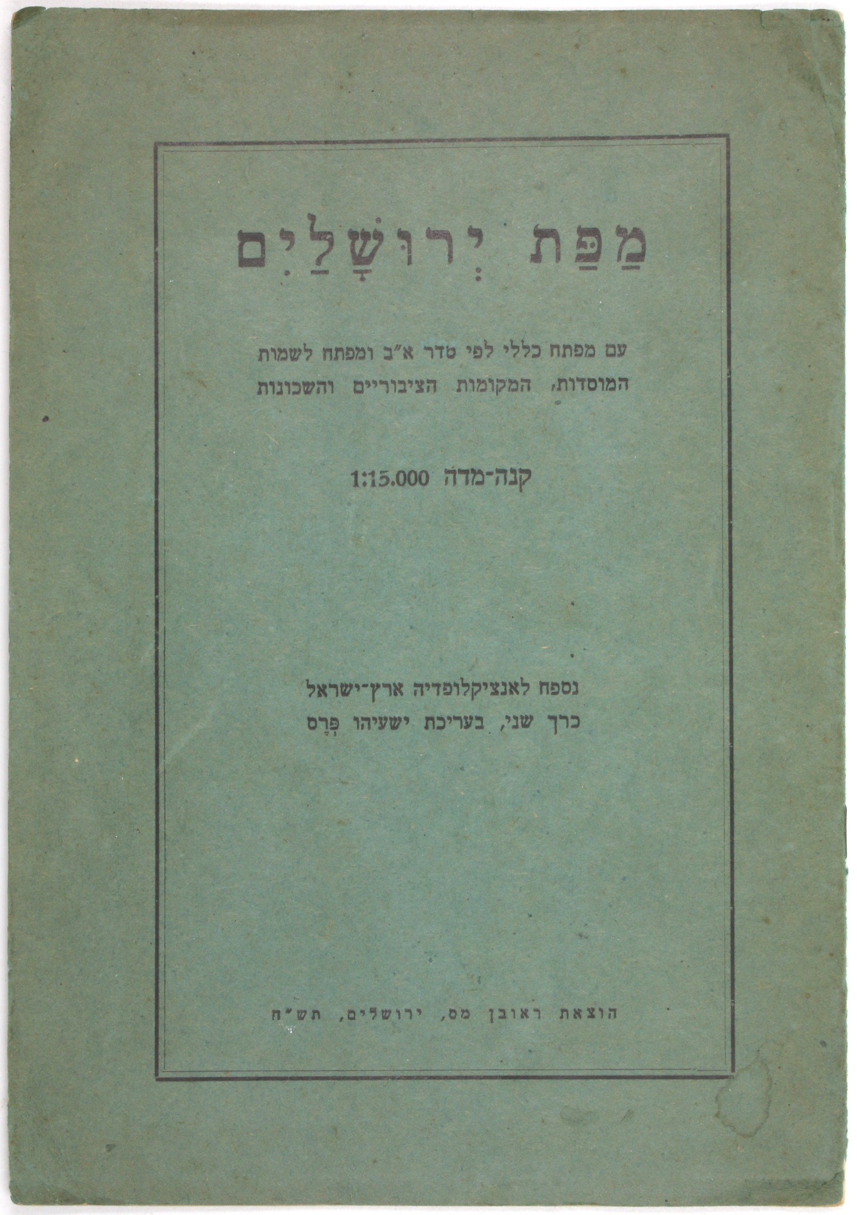
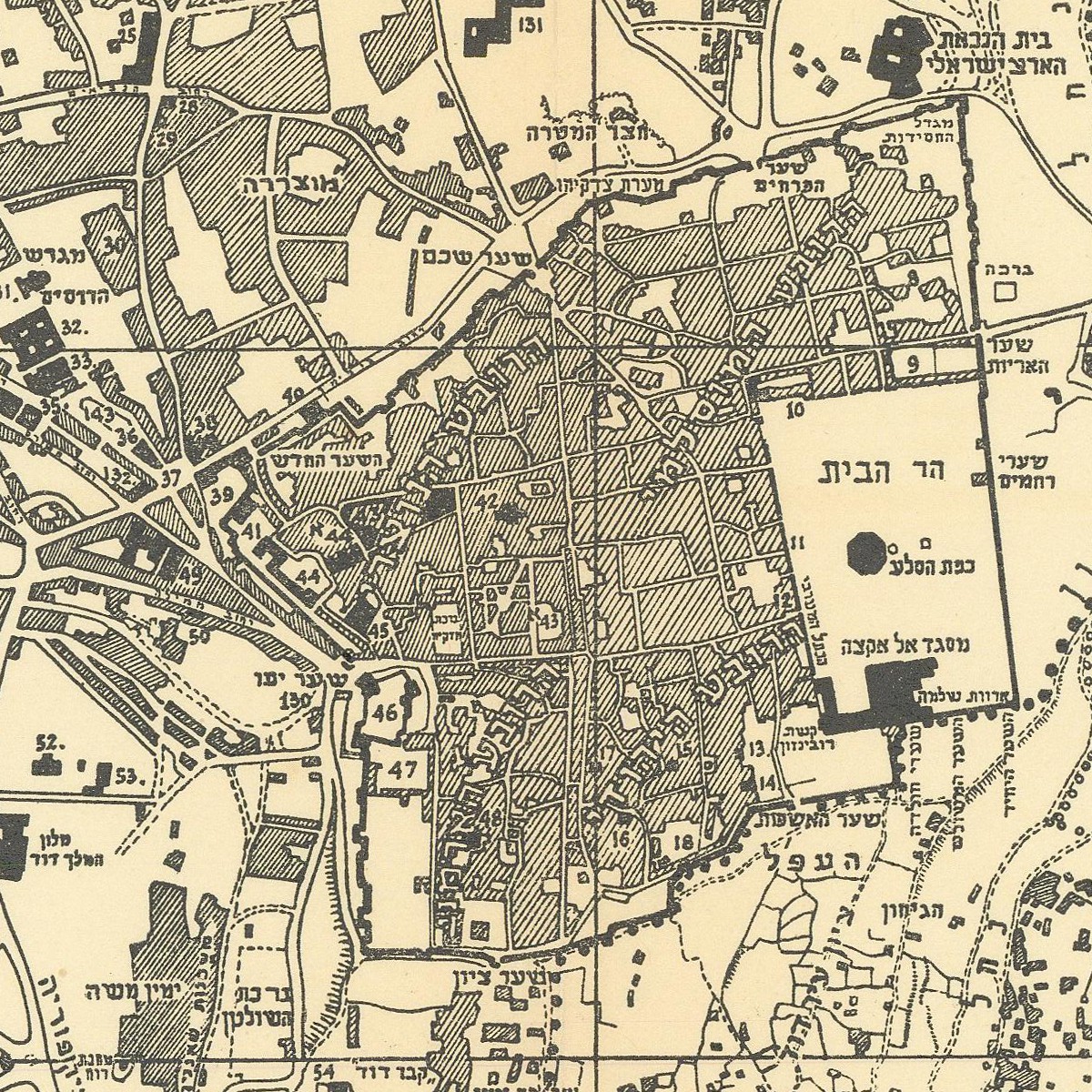
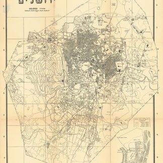
Mapat Yerushalayim [Map of Jerusalem].
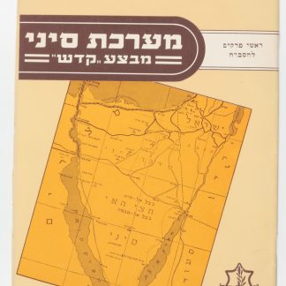
Original folding map (500 x 700 mm). Scale 1:15,000. With 7, (1) pp. of text. Original printed wrappers (170 x 242 mm). Stapled.
€ 450.00
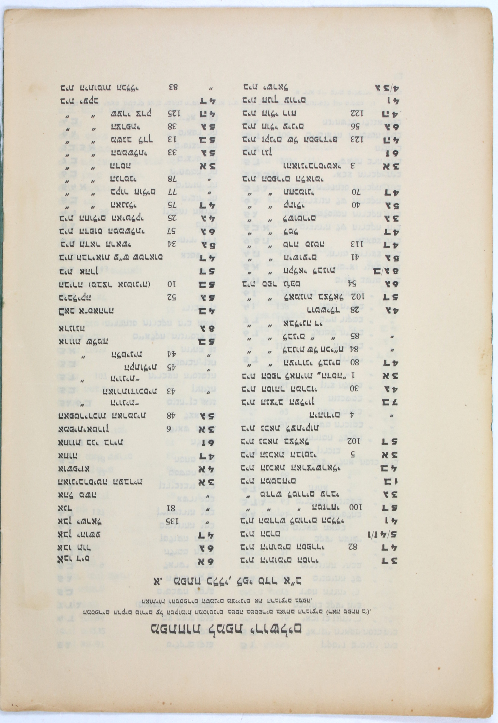
Fine Hebrew folding map produced by the Pro-Jerusalem Society, "with a general key in alphabetical order and a map for the names of the institutions, public places and neighborhoods" (subheading). Very rarely available as a separate publication, this map was originally issued as a supplement to the Topographical-Historical Encyclopaedia of Palestine (1946-55). The map includes an inset of historical Jerusalem and is complemented by lists of places of interests matched with the corresponding map coordinates.
Tear to lower spine, otherwise fine. Only two copies in libraries worldwide, both in the United States (Harvard University and Hebrew Union College).
OCLC 78228594.

