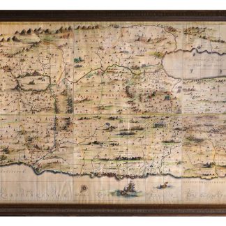
Attractively coloured Jansson map of the Holy Land
[Terra Sancta]. Peregrinatio Abrahae. Itinera et mansiones deserti.
177.5 x 85.5 cm. Engraving on six sheets in contemporary hand colour. Three compass roses. Framed and glazed.
€ 12,500.00
Palestine and the Holy Land, as published in six sheets within Janssonius's "Novus Atlas" and here assembled into an exceptionally large, impressive hand-coloured wall map spanning nearly two metres framed.
The map is oriented with the east on top - in keeping with European medieval religious tradition, and also showing the Levant from the perspective in which a pilgrim might approach it from sea. Thus, the coastline runs from the Levantine Sea and Sidon, Lebanon, at left to Rhinocorura, Egypt, at right. The map shows the divisions of the Twelve Tribes of Israel on both sides of the River Jordan as well as several episodes of their history in illustrations based on the Old Testament. Offshore, not far from the port of Joppa or Japha, one spies a ship holding Jonah about to be cast into the jaws of the whale. There are two cartouches: the one at top left contains the Wanderings of Abraham ("Peregrinatio Abrahae"); the other, at top right, the Journeys and Mansions of the Desert ("Itinera et mansiones deserti"), i.e. the wanderings of the Israelites in the Sinai wilderness.
Janssonius's map was copied by Johann Ulrich Stampf in Augsburg around 1700 and issued in a similarly large format with a German title. The present original, the result of a collaboration between Janssonius and the German geographer Georgius Hornius (1620-70), is considered one of the most precise maps of Palestine and the Levant produced in the seventeenth century.
Vibrantly hand-coloured by a contemporary hand using five different paints; settlements marked in red. Very rare and in excellent condition.
Koeman I, 8150:1D/1-6. OCLC 16589561.
Related
-
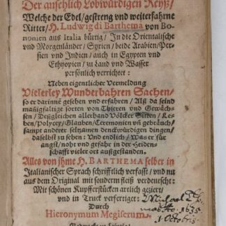
Hodaeporicon Indiae Orientalis; Das ist: Warhafftige Beschreibung der ansehnlich …Leipzig, 1608.
€ 28,000.00 -

Voyage en Arabie & en d'autres Pays circonvoisins. Tome premier (-second). …Amsterdam & Utrecht, 1775-1780.
€ 6,000.00 -
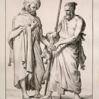
Voyage dans le Levant en 1817 et 1818.Paris, 1819.
€ 35,000.00 -
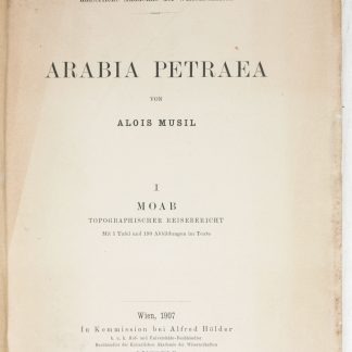
Arabia Petraea.Vienna, 1907-1908.
€ 9,500.00