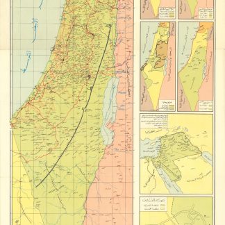
Mapping the partition of Palestine
Palestine.
Beirut, Al-Arabi Magazine, 1962.
Colour lithograph map, 668 x 390 mm.
€ 400.00
A detailed map of Palestine prepared and issued by the Higher Arab Commission for Palestine for the popular Kuwaiti magazine, Al-Arabi. Alongside the main map, smaller complementary maps show various political landscapes, including the boundaries of Arab and Zionist settlements in Jerusalem, projected Zionist expansion across the Levant, and two maps of partitions of Palestine as drawn up by the UN in 1947 and by the British in the Mandate period.
Light creasing, quite bright and clean.
Related
-
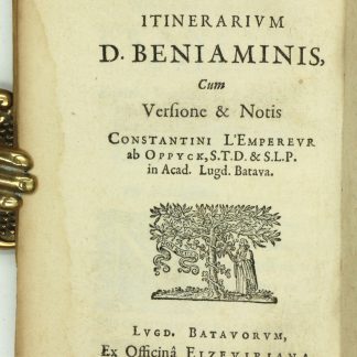
[Masa'ot shel rabi Binyamin]. Itinerarium D. Beniaminis cum versione & …Leiden, 1633.
€ 12,500.00 -
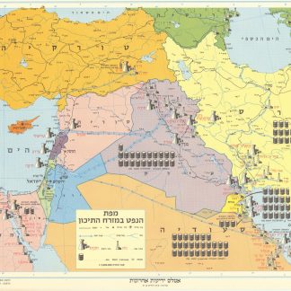
Mapah ha-neft ba-mizrah ha-tikhon (Map of the Oil Industry in the Middle …Jerusalem, 1963.
€ 2,500.00 -
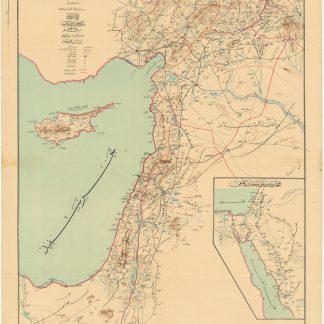
Road and rail map of Syria and Lebanon.Ottoman, 1911 CE = 1327 Rumi.
€ 3,500.00 -
Weekly Military Intelligence Review.Jerusalem, General Headquarters Palestine, 17 May 1946 - 28 Feb. 1947.
€ 19,500.00