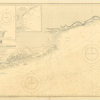
Arabia, South-East Coast. Ras al Kalb to Merbat, surveyed by Commanders S. B. Haines, J. P. Sanders and A. M. Grieve. 3784.
London, at the Admiralty, 1930.
Ca. 102 x 70 cms. Engraved map.
€ 1,500.00
Naval map of the south eastern coast of Oman. Includes vignette views of Bandar Risut and Qishn Bay, giving a detailed view of the mountain landscape and listing the most important mountains such as Jebel Qamar, Jebel Asad, Jebel Jaihun, Jebel Arsh, Jebel Dhora, and Jebel Samhan. With additions and corrections from surveys by Capt. W. Pullen. R.N., H.M.S. "Cyclops", 1859 and Commander J. Dayman. R.N., H.M.S. "Hornet", 1862-63.
Some pencil notes, stamp of the "N.V. Observator Rotterdam". Well preserved.
Related
-
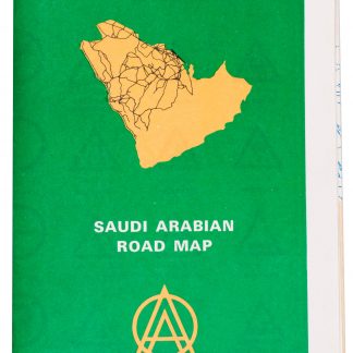
Saudi Arabian road map.Dammam, 1975.
€ 1,350.00 -
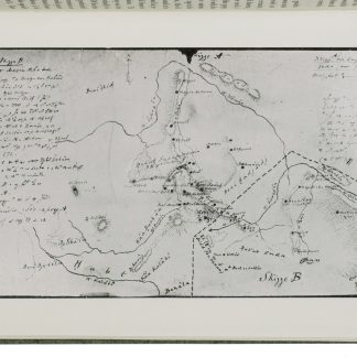
A contribution to the geography and cartography of north-west Yemen (based …Cairo, 1939.
€ 2,800.00 -
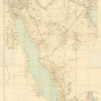
Arabia and the Persian Gulf. N.W. Section, S.W. Section. [Map of Arabia …Dehra Dun, 1916.
€ 8,500.00 -
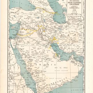
Arabia and near bordering countries. Includes: Palestine, Iran (Persia) …Chicago, ca. 1936-1941.
€ 1,500.00