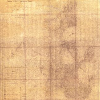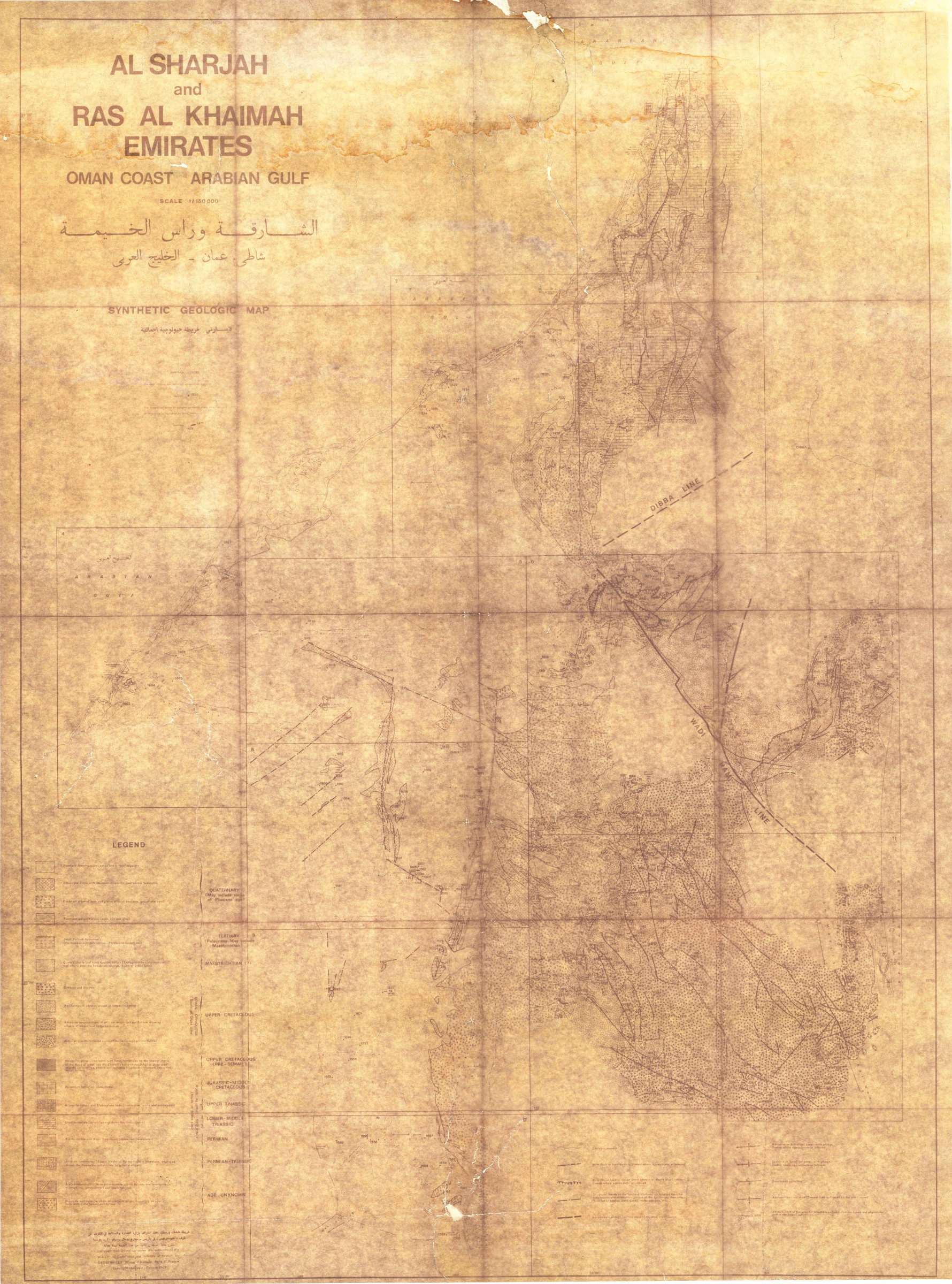
Pre-UAE geological map of Sharjah and northern emirates
Al Sharjah and Ras Al Khaimah Emirates. Oman Coast. Arabian Gulf. Synthetic Geological Map.
Black on grey photoprinted map, 1107 x 812 mm. Scale 1:150,000.
€ 5,000.00
A scarce Kuwaiti geological map of Sharjah, Umm Al Quwain, and Ras Al Khaimah, currently unrecorded on OCLC and compiled just three years before the Trucial states gained independence from the British and began the process of the forming the UAE. Compiled and drawn up under the authority of the Ministry of Commerce and Industry of Kuwait, the map includes surface-level geological formations along the coasts, wadi tracks, and mountains from Sharjah to Ras Al Khaimah. The key specifies the geological era of each formation back to the Permian, including several from the Mesozoic.
Maps like this one would have been an important tool in understanding the geological natural resources potentially available to each emirate, whose borders were not yet entirely set at the time of publication.
Light wear and creasing; expertly rebacked and reinforced.
Related
-
Ha-mizrah ha-karov (The Near East).Tel Aviv, 1958.
€ 3,500.00 -
Travels to the City of the Caliphs, along the Shores of the Persian Gulf …London, 1840.
€ 6,000.00 -

Iran (Persia) and Iraq.London, 1930s.
€ 650.00 -
![Arabia and the Persian Gulf. N.W. Section, S.W. Section. [Map of Arabia and the Persian Gulf with additions and corrections to 1916].](https://inlibris.com/wp-content/uploads/2021/11/img-bn51281-324x324.jpg)
Arabia and the Persian Gulf. N.W. Section, S.W. Section. [Map of Arabia …Dehra Dun, 1916.
€ 8,500.00