


Saudi Arabia. Series K663. Edition 1-NIMA, Ra's al Khafji; Edition 1-DMA, Ad Dibdibah.
2 colour printed maps, 570 x 737 mm and 570 x 740 mm. Scale 1:100,000.
€ 2,500.00
Classified maps of Saudi Arabia, prepared for military use by the U.S. National Imagery and Mapping Agency; stamped "for official use only". Two incredibly detailed plans of Ras al Khafji and Ad Dibdibah in Saudi Arabia, comprising sheets 5746 and 5447 of the K663 series, mapping Saudi Arabia at a scale of 1:100,000, producing high quality charts suitable for air and naval military operations. The present maps exhibit a wealth of information specifically relevant to air operations, including carefully marked towers, landing fields and runways, with information on the surface of the landing ground ("hard" or "loose"), including Ras Mishab, Ras Khafji and Ras Safaniyah airfields. Notes are also presented on the presence of power lines in given areas, a very important risk for pilots landing in unknown and unofficial areas during wartime.
In excellent condition.
Related
-
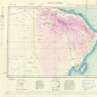
Asia 1:1,000,000. Muscat-Masira. NF-40.London, 1944.
€ 1,000.00 -

Saudi Arabia City Graphic. Ra's Tannurah. Series K9611. Edition 1-DMA.U.S. Government, 1994.
€ 1,500.00 -
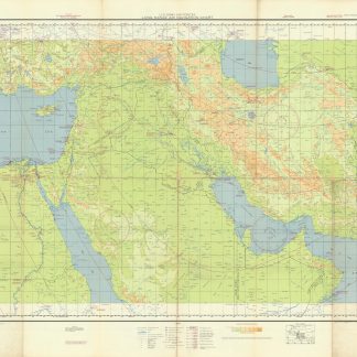
US Army Air Forces. Long Range Navigation Chart. Arabia, Restricted.Washington, D.C., 1944.
€ 2,500.00 -

Saudi Arabia City Graphic. Series K9611. Edition 1-NIMA, Tabuk; Edition …U.S. Government, 1997 and 1998.
€ 2,500.00
