Maps and Plans
Showing items 529–551 of 551 (Maps and Plans)
-
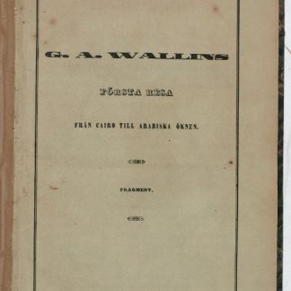
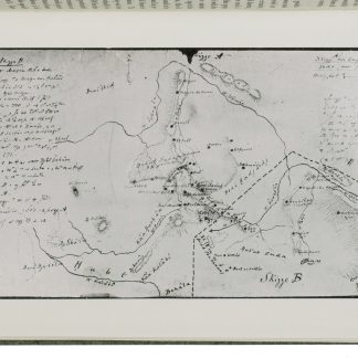
Första Resa fran Cairo till Arabiska Öknen i April 1845. Fragment.Helsingfors Helsinki, 1853.
€ 9,500.00 -
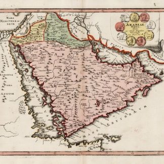
Arabiae Veteris Typus.Nuremberg, ca. 1720.
€ 1,250.00 -
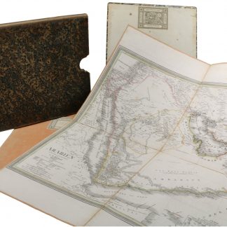
[Allgemeiner Hand-Atlas der ganzen Erde]. The Near and Middle Eastern Maps.Weimar, 1827-1834.
€ 1,500.00 -
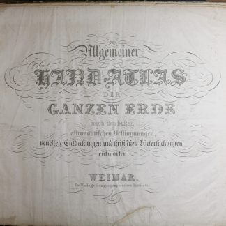
Allgemeiner Hand-Atlas der ganzen Erde nach den besten astronomischen Bestimmungen, …Weimar, 1829.
€ 6,500.00 -
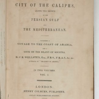
Travels to the City of the Caliphs, along the Shores of the Persian Gulf …London, 1840.
€ 6,000.00 -
A contribution to the geography and cartography of north-west Yemen (based …Cairo, 1939.
€ 2,800.00 -
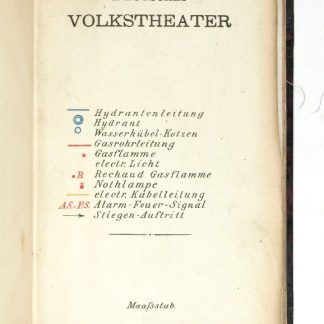
Deutsches Volkstheater.Wohl Wien, um 1889.
€ 350.00 -
Bonifaz Wohlmuth’s Steinmetzten und Baumeister Kaiser Ferdinands I., …Wien, 1856-1858.
€ 2,800.00 -

Bonifaz Wohlmuth’s Steinmetzten und Baumeister Kaiser Ferdinands I., …Wien, 1856-1858.
€ 2,500.00 -
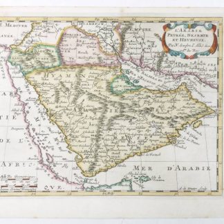
L'Arabie Petree, Deserte, et Heureuse.Utrecht, 1683.
€ 1,500.00 -
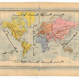
Ottoman map of the world.N. p., ca. 1868.
€ 2,000.00 -
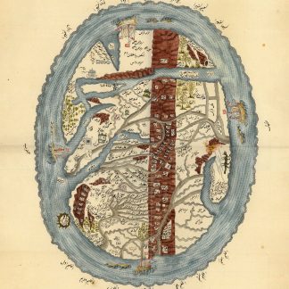
Map of the world centred on the Arabian Gulf, showing seven mosques or …Northern India or Kashmir?, ca. 1790 / late 18th century copy of a 16th century ? original.
Inquire -
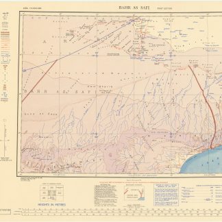
Bahr as Safi. Asia North E-39.London, 1949.
€ 600.00 -
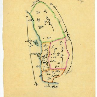
Manuscript map of Yemen Vilayet.Probably Istanbul, ca. 1915.
€ 850.00 -
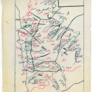
Manuscript map of administrative divisions and wadis of Yemen.No place, ca. 1970s.
€ 800.00 -
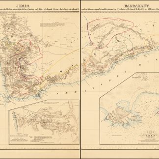
Jemen. Hadramaut. Versuch einer Darstellung vom glücklichen oder südöstlichen …Berlin, 1846.
€ 950.00 -
Milchemet Jom HaKippurim [Yom Kippur War].Jerusalem, 1974.
€ 750.00 -
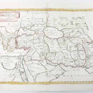
Imperium Alexandri Magni.Venice, 1785.
€ 850.00 -
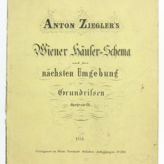
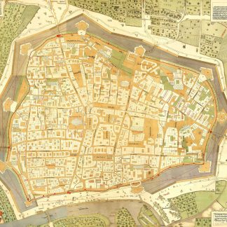
Wiener Häuser-Schema und der nächsten Umgebung in Grundrissen dargestellt.Vienna, 1854.
€ 1,000.00 -
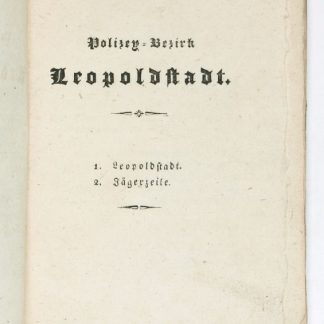
Polizey-Bezirk Leopoldstadt. 1. Leopoldstadt. 2. Jägerzeile.Wien, um 1822.
€ 280.00 -
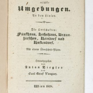
Die Ortschaften Fünfhaus, Sechshaus, Braunhirschen, Reindorf und Rustendorf.Wien, 1828.
€ 150.00 -
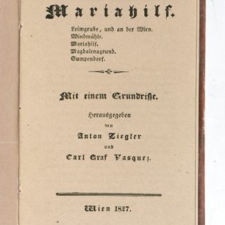
Polizey-Bezirk Mariahilf.Wien, 1827.
€ 150.00 -
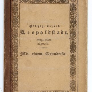
Polizey-Bezirk Leopoldstadt. Leopoldstadt. Jägerzeile. Mit einem Grundrisse.Wien, 1827.
€ 180.00
Showing items 529–551 of 551 (Maps and Plans)
Not what you were looking for? Browse 30,000 books and autographs by subject or try our advanced search.