Maps and Plans
Showing items 193–240 of 547 (Maps and Plans)
-
Kamaran Passage and Southern Approach. No. 543.London, 1919.
€ 1,500.00 -
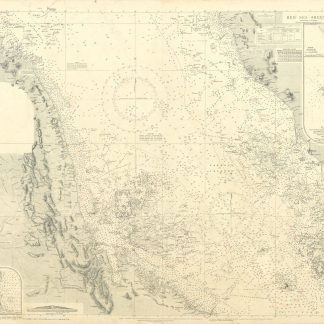
Red Sea. No. 2523.London, 1928.
€ 2,500.00 -
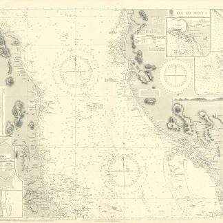
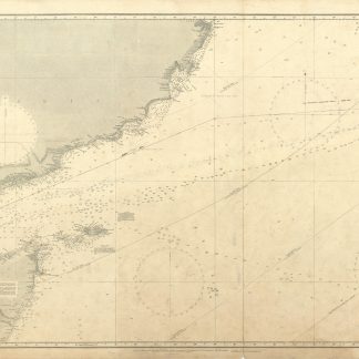
Red Sea - Sheet 3. No. 8c.London, 1937.
€ 1,250.00 -
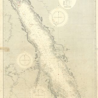
Red Sea - Sheet 4. No. 8d.London, 1936.
€ 1,250.00 -
Arabian Sea. No. 1012.London, 1935.
€ 500.00 -
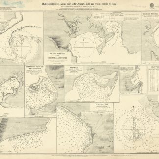
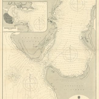
Harbours and Anchorages in the Red Sea. No. 3047.London, 1921.
€ 1,500.00 -
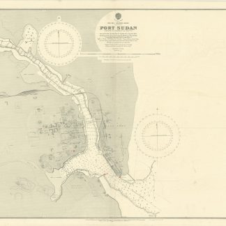
Port Sudan. No. 3492.London, 1918.
€ 400.00 -
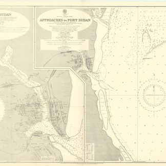
Port Sudan [and] Approaches to Port Sudan. No. 3492.London, 1937.
€ 350.00 -
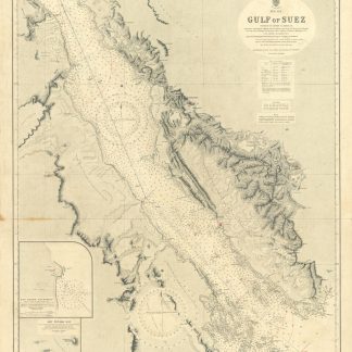
Gulf of Suez. No. 757.London, 1933.
€ 350.00 -
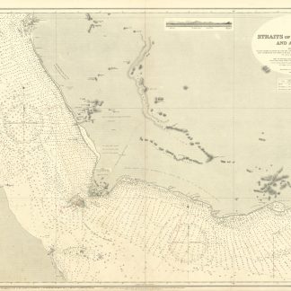
Straits of Bab-el-Mandeb and Approaches. No. 3180.London, 1936.
€ 800.00 -

Ports Ibrahim and Thewfik. No. 3214.London, 1936.
€ 450.00 -
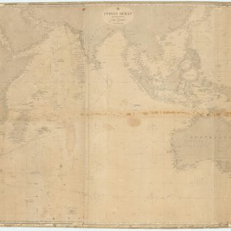
Indian Ocean Western [and] Eastern Sheet.London, 1867.
€ 2,500.00 -
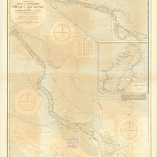
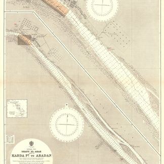
Mouth of the Euphrates. Shatt Al Arab and Bahmanshir River from surveys …London, 1931.
€ 800.00 -
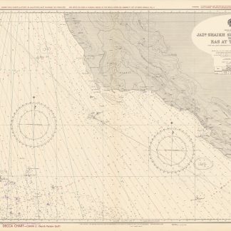
Persian Gulf. Jazh. Shaikh Shu'aib & Qalat to Ras at Tannura. From …London, 1962-1964.
€ 1,000.00 -
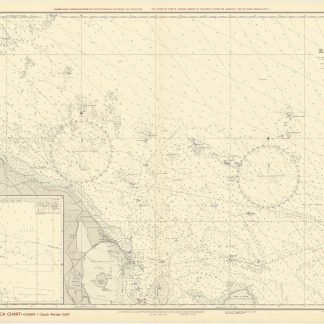
Persian Gulf. Approaches to Ras at Tannura. From United States Government …London, 1963/1964.
€ 1,000.00 -
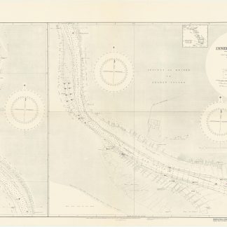
Persian Gulf. Shatt Al Arab [2 sheets].London, 1944.
€ 1,500.00 -
Persian Gulf. Shatt Al Arab [5 sheets].London, 1932.
€ 3,500.00 -
Gulf of Aden - North Coast. Aden Harbour surveyed by Lieut. W. C. Taylor, …London, 1926.
€ 800.00 -
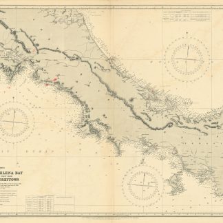
Central America. Cape Mala to Elena Bay with the Northern Coast from Chagres …London, 1926.
€ 450.00 -
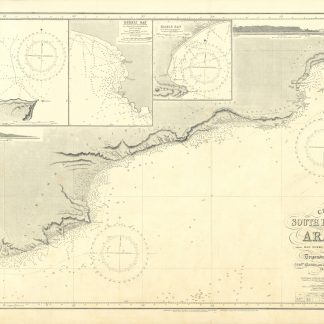
Chart of the South East Coast of Arabia from Ras Sukra to Palinurus Shoal, …London, 1924.
€ 1,000.00 -
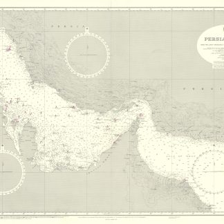
[UK Admiralty Charts: The Arabian Gulf]. Persian Gulf (2858). Approaches …London, 1970-1971.
€ 3,500.00 -
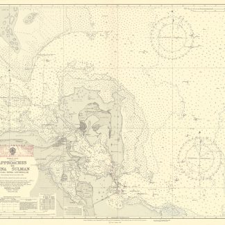
Approaches to Mina Sulman including [Khor Kaliya &] Sitra Anchorage …London, 1951-1965.
€ 1,800.00 -
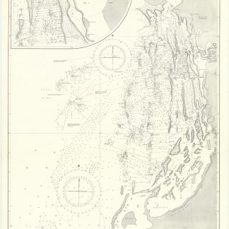
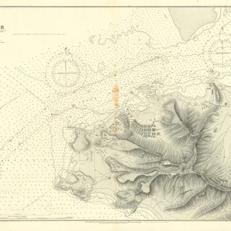
Jidda with its Approaches Surveyed by Commander W. J. L. Wharton, R.N. …London, 1927 1930.
€ 2,500.00 -
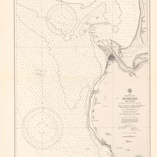
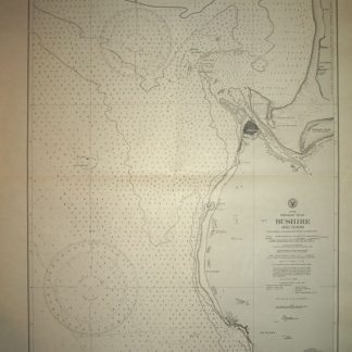
Bushire (Abu Shahr). No. 3656.Washington D.C., 1914.
€ 800.00 -

Southeast Coast of Arabia. Ras Sajar to Ras Al Hadd. No. 1587.Washington, D.C., 1920.
€ 750.00 -
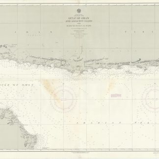
Indian Ocean - Arabian Sea. Gulf of Oman and Adjacent Coasts from Karachi …Washington D.C., 1948/1951.
€ 1,250.00 -
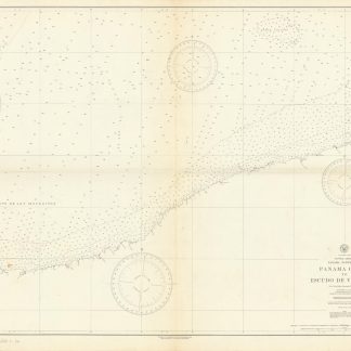
Preliminary Chart. Panama Canal to Escudo de Veraguas from United States …Washington D.C., 1948.
€ 400.00 -
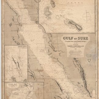
Gulf of Suez. (Compiled from recent British surveys).London, 1877.
€ 500.00 -
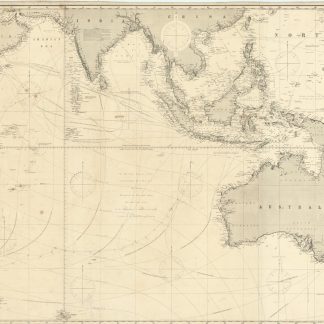
Indian Ocean.London, 1885.
€ 3,000.00 -
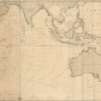
Indian Ocean.London, 1879.
€ 4,500.00 -
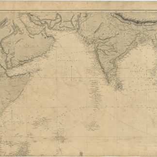
Indian Ocean.London, no year.
€ 1,000.00 -
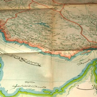
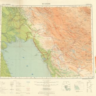
Naqshah-i mufassal-i kishvar-i Iran.Istanbul, 1930.
€ 1,500.00 -
Kishvar-i Shahanshahi-yi Iran [The Imperial country of Iran].Iran, 1340 H = 1961 CE.
€ 600.00 -
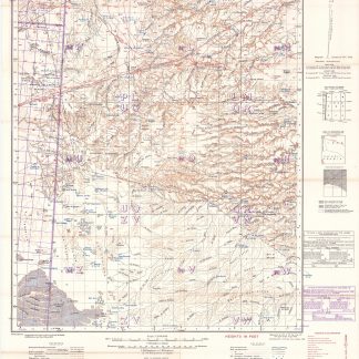
Asia 1:1,000,000 Sheet North H-39 Bushire.London, 1944.
€ 850.00 -
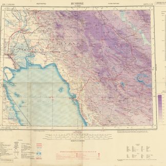
Asia 1:1,000,000.. Bushire. Sheet North H-39.London, 1944.
€ 850.00 -
Asia 1:1,000,000. Bushire. Sheet North H-39.London, 1918.
€ 950.00 -
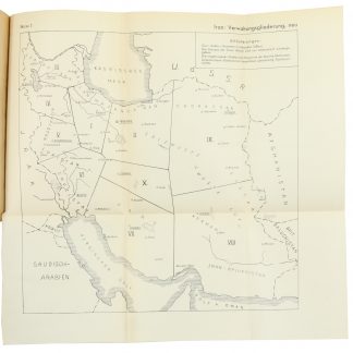
Entwurf! Militärgeographische Angaben über Iran: Ortschaftsverzeichnis; …Berlin, 1943.
€ 6,500.00 -
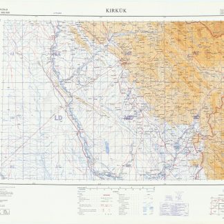
Kirkuk. World 1404. 427B. 3-GSGS.London, 1962.
€ 400.00 -
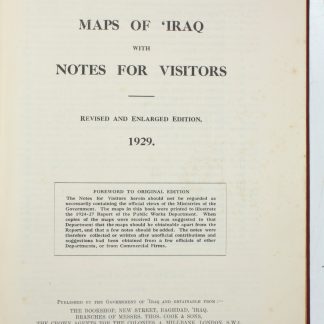
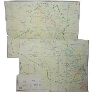
Maps of 'Iraq with Notes for Visitors.Baghdad & London, 1929.
€ 1,250.00 -
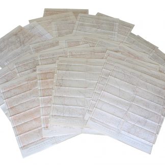
42 lithographic WWII maps.UK Government, 1942.
€ 6,500.00 -
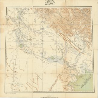
Iraq.Istanbul, 1915 CE = 1331 Rumi.
€ 3,500.00 -
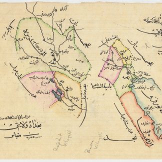
Manuscript map of Baghdad Vilayet and Basra Vilayet.Probably Istanbul, ca. 1915.
€ 1,500.00 -
Index Map of Iraq and Kuwait with oil fields.No place, 1959 / 1970.
€ 450.00 -
2 lithographic WWII maps: Rutba and Wadi Al Ubaiyidh.UK Government, 1940-1942.
€ 1,250.00 -
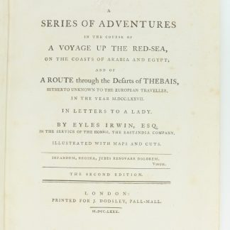
A Series of Adventures in the Course of a Voyage up the Red-Sea, on the …London, 1780.
€ 12,500.00 -
Begebenheiten einer Reise auf dem rothen Meer, auf der arabischen und ägyptischen …Leipzig, 1781.
€ 1,800.00 -
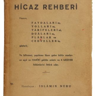
Hicaz Rehberi. Haccin, Faydalarini, Yollarini, Tarifelerini, Dualarini …Istanbul, 1952.
€ 2,500.00 -
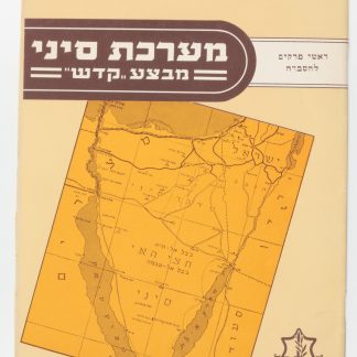
Ma’Rechet Sinai “Mivza Kadesh” (The Sinai War "Operation Kadesh").Tel Aviv, 1957.
€ 950.00
Showing items 193–240 of 547 (Maps and Plans)
Not what you were looking for? Browse 30,000 books and autographs by subject or try our advanced search.