Maps and Plans
Showing items 145–192 of 544 (Maps and Plans)
-
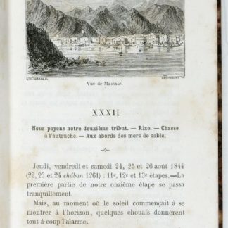
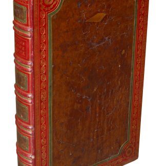
Les mystères du désert. Souvenirs de voyages en Asie et en Afrique.Paris, 1859.
€ 950.00 -
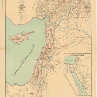
Collection of twelve maps of the Middle East relating to the proposed construction …Various places, ca. 1930.
€ 8,000.00 -
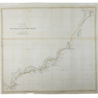
Survey of Part of the South East Coast of Arabia.London, 1845.
€ 350.00 -

Survey of Part of the South East Coast of Arabia.London, 1845.
€ 650.00 -

Memoir to Accompany a Chart of the South Coast of Arabia.London, 1839-1845.
€ 1,500.00 -
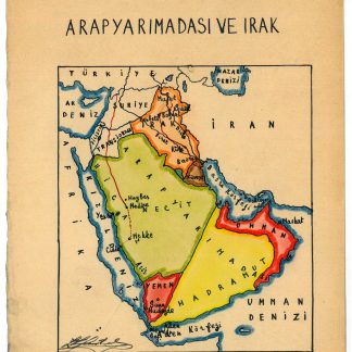
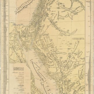
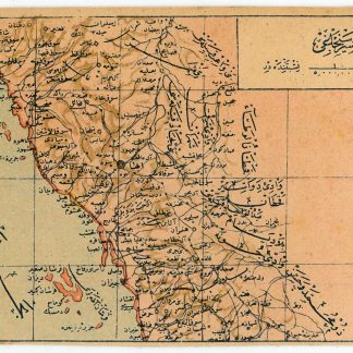
Arap Yarimadasi ve Irak.Istanbul, ca. 1929.
€ 800.00 -
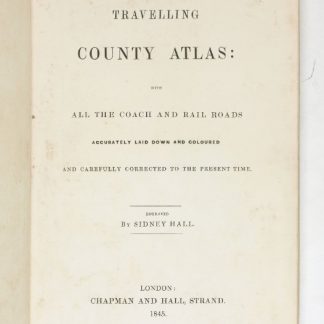
A Travelling County Atlas With all the Coach and Rail Roads Accurately …London, 1845.
€ 400.00 -
A New Account of the East Indies. Giving an exact and copious description …London, 1744.
€ 9,500.00 -
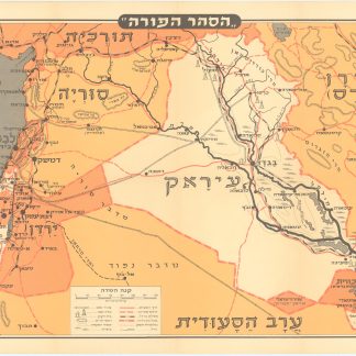
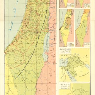
Hasahar Hapore [The Fertile Crescent].Tel Aviv, 1958.
€ 650.00 -
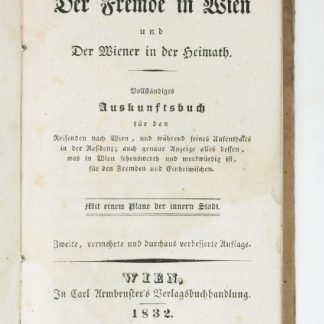
Der Fremde in Wien und der Wiener in der Heimath. Vollständiges Auskunftsbuch …Wien, 1832.
€ 280.00 -
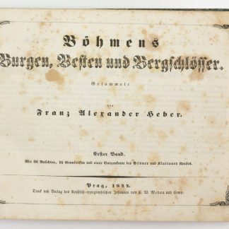
Böhmens Burgen, Vesten und Bergschlösser.Prag, 1844-1849.
€ 4,500.00 -
Road and rail map of Syria and Lebanon.Ottoman, 1911 CE = 1327 Rumi.
€ 3,500.00 -
[Map and Profile of the Hijaz Railway Route].Constantinople, 1904 CE = 1320 Rumi.
€ 22,000.00 -

Celail-i asar-i seniyye-i hazret-i Hilafet-penahi'den Hamidiye Hicaz Demiryolunu …No place, ca. 1910.
€ 600.00 -
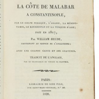
Voyage de la côte de Malabar à Constantinople, par le Golfe Persique, …Paris, 1820.
€ 7,500.00 -
Palestine.Beirut, 1962.
€ 400.00 -
Postcard. Asir (Saudi Arabia).Istanbul, circa 1910.
€ 650.00 -

Postcard. Yemen.Istanbul, circa 1910.
€ 600.00 -

Postcard. Northern Arabian Gulf.Istanbul, ca. 1910.
€ 850.00 -
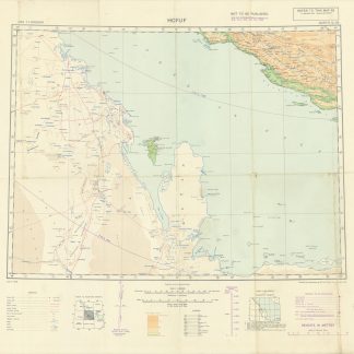
Asia 1:1,000,000. Hofuf. Sheet North G-39.London, 1942.
€ 950.00 -

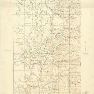
Motor and Camel Surveys in the North Arabian Desert.London, 1923.
€ 580.00 -
Grosser Atlas über die gantze Welt.Nuremberg, 1737-1762.
€ 85,000.00 -
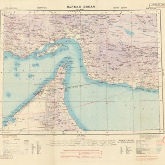
Asia 1:1,000,000. Bandar 'Abbas. Sheet North G-40.London, 1944.
€ 1,000.00 -
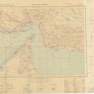
International Map of the World 1:1,000,000. 'Bandar Abbas. Sheet N. G-40.London, 1942.
€ 1,500.00 -
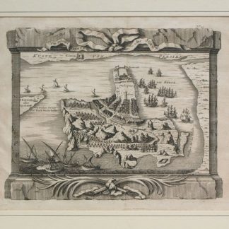
Das Eyland Ormus oder Jerun.No place, mid-18th c.
€ 400.00 -
The Geographical Journal. Vol. IV, No. 2.London, 1894.
€ 500.00 -
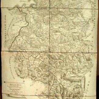
Provincia Arlbergica Sequentes Comitatus, aliosque Dominatus Austriacos …Vienna, 1783.
€ 6,500.00 -
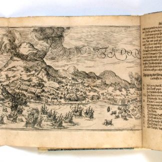
Neundte Schiffart, Das ist: Gründtliche Erklärung, was sich mit den Holl- …Frankfurt am Main, 1606.
€ 1,500.00 -
United Arab Emirates - vertical aerial photography.United Arab Emirates, 1975-1977.
Inquire -
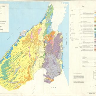
Government of the United Arab Emirates. Ministry of Petroleum and Mineral …Borehamwood, 1976.
€ 6,000.00 -

Abu Dhabi State. Al Ain and District. Town Planning Dept. Al Ain Town.Abu Dhabi, 1979.
€ 3,500.00 -
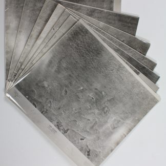
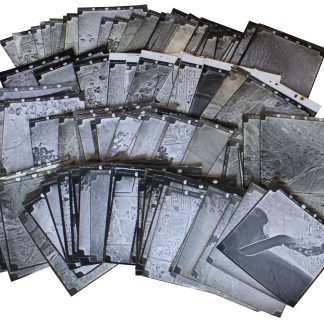
Aerial survey photographs (nos. 1-7). Liwa Villages.London, 1976-1977.
€ 18,000.00 -
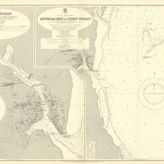
Port Sudan [and] Approaches to Port Sudan. No. 3492.London, 1929.
€ 350.00 -
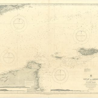
Gulf of Aden [...] Eastern Portion Including Socotra Island. No. 6a.London, 1934.
€ 400.00 -
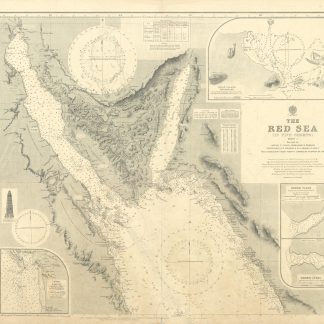
The Red Sea (in Five Sheets). Sheet I. No. 8a.London, 1931.
€ 1,000.00 -
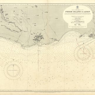
Perim Island to Aden. No. 3661.London, 1935.
€ 1,000.00 -

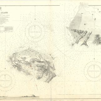
Islands in the Southern Portion of the Red Sea. No. 453.London, 1928.
€ 1,500.00 -
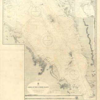
Jabal at Tair to Perim Island. No. 143.London, 1935.
€ 2,000.00 -
Persian Gulf. Western Sheet. No. 2837b.London, 1948.
€ 1,500.00 -
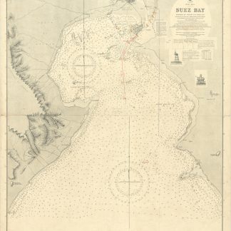
Suez Bay. No. 734.London, 1931.
€ 750.00 -
Aden Harbour and Approaches. No. 7.London, 1936.
€ 350.00 -
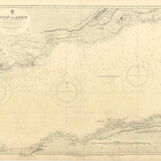
Gulf of Aden. Sheet 2. Western Portion. No. 6b.London, 1934.
€ 300.00 -
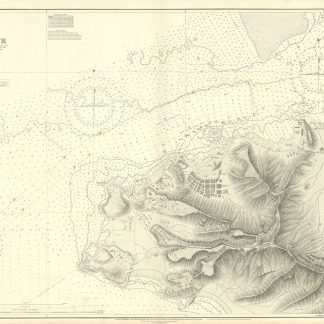
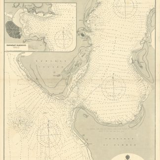
Aden Harbour. No. 3660.London, 1937.
€ 400.00 -
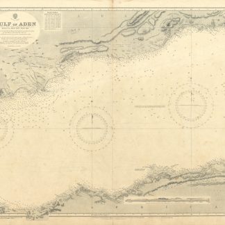
Gulf of Aden. Sheet 2. Western Portion. No. 6b.London, 1931.
€ 300.00 -
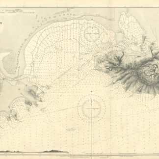
Perim Island (or Meyún) and Bab-el-Mandeb Small Strait. No. 2592.London, 1924.
€ 1,000.00 -
Harbours and Anchorages in the Red Sea. No. 923.London, 1919.
€ 1,000.00 -
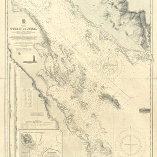
Strait of Jubal. No. 2838.London, 1931.
€ 450.00 -
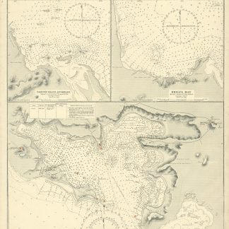
Kamaran Passage and Southern Approach. No. 543.London, 1919.
€ 1,500.00
Showing items 145–192 of 544 (Maps and Plans)
Not what you were looking for? Browse 30,000 books and autographs by subject or try our advanced search.