Maps and Plans
Showing items 481–528 of 551 (Maps and Plans)
-
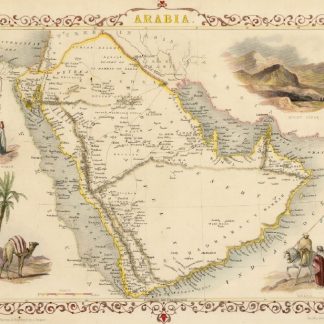
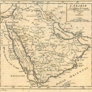
Arabia.London, 1851.
€ 500.00 -
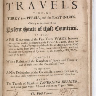
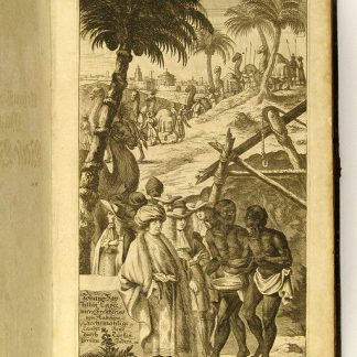
Collections of travels through Turky into Persia, and the East-Indies. …London, 1684.
€ 8,500.00 -
Vierzig-Jährige Reise-Beschreibung. Worinnen dessen durch Türkey, Persien, …Nuremberg, 1681.
€ 8,500.00 -
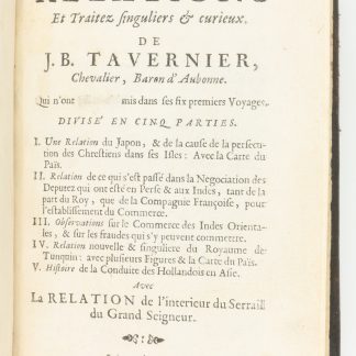
(Nouvelle relation de l'interieur du Serail du Grand Seigneur). Recueil …Amsterdam, 1679.
€ 2,500.00 -
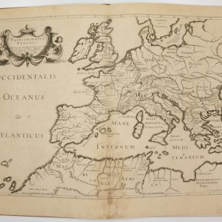
Antiquorum Patriarchatuum Descriptio.Paris, 1640.
€ 3,500.00 -
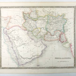
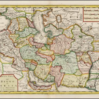
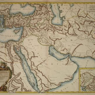
Persia and Arabia.London, 1847.
€ 750.00 -
The travels of the Jesuits in Ethiopia: containing [...] travels in Arabia …London, 1710.
€ 25,000.00 -
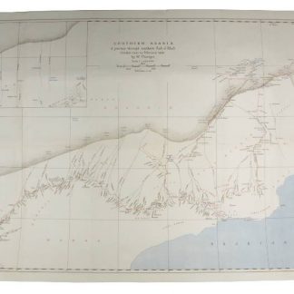
Southern Arabia. A Journey Through Southern Rub el Khali. October 1945 …London, 1946.
€ 1,800.00 -
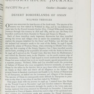
Desert Borderlands of Oman. (In: The Geographical Journal. Vol. CXVI Nos. …London, 1950.
€ 1,800.00 -
Historical and other information, connected with the province of Oman, …Bombay, 1856.
€ 150,000.00 -
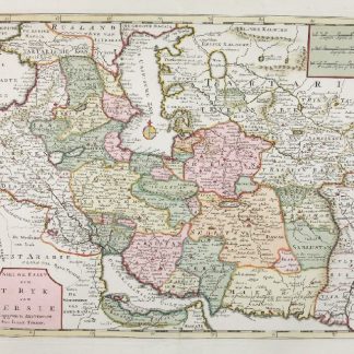
Nieuwe Kaart van t'Ryk van Persie.Amsterdam, ca. 1750.
€ 850.00 -
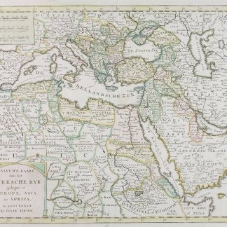
Nieuwe Kaart van het Turksche Ryk gelegen in Europa, Asia en Africa.Amsterdam, ca. 1750.
€ 1,250.00 -
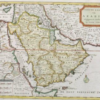
Nieuwe Kaart van Arabia.Amsterdam, 1731.
€ 1,250.00 -
Nuova Carta del Regno di Persia.Amsterdam, 1740.
€ 850.00 -
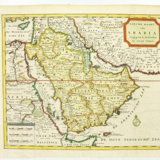
Nieuwe Kaart van Arabia.Amsterdam, 1731.
€ 1,250.00 -
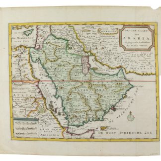
Nieuwe Kaart van Arabia.Amsterdam, 1731.
€ 1,250.00 -
Asie ouest 1:2.000.000e Flle. 1.Beirut, 1939.
€ 200.00 -

Erzerum. Operationskarte. Nur für den Dienstgebrauch.Berlin, 1917.
€ 400.00 -
Der Nahe Osten. Tornisterschrift des NS.-Führungsstabes der Wehrmacht. …Berlin, 1944.
€ 350.00 -
[Atlas of the world].Turkey, 1928.
€ 800.00 -
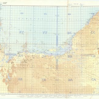
S.E. Arabia. Series GSGS 4802, Sheet 1 [Trucial Coast]. Edition 2-GSGS.London, 1956.
€ 8,500.00 -
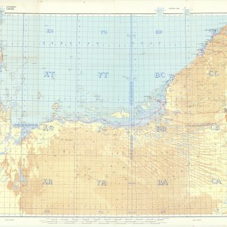
S.E. Arabia. Series GSGS 4802, Sheet 1 [Trucial Coast]. Edition 2-GSGS.London, 1956.
€ 3,500.00 -
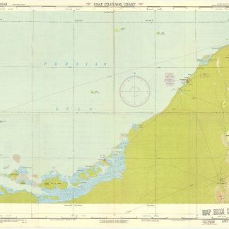
USAF Pilotage Chart. Ash Sharigah (548 D). Trucial Oman.Washington, DC, 1948-1950.
€ 3,500.00 -
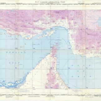
Strait of Hormuz (548). GSGS 4695. Edition 2.London, 1955.
€ 4,000.00 -
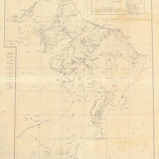
Sharjah - Salala.No place, probably 1960s.
€ 6,500.00 -
Kharitat al-Jumhuriyah al-'Arabiyah al-Muttahidah (Map of the United Arab …Damascus, ca. 1958.
€ 4,500.00 -
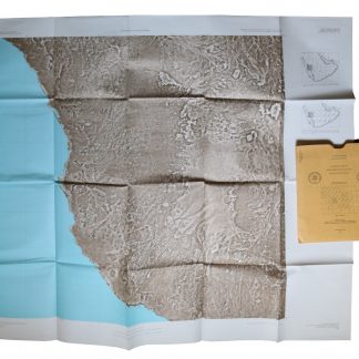
Saudi Arabia Landsat Image Maps, OF-02 series (1:250,000 and 1:500,000). …Reston, VA / Jiddah, 1982.
€ 12,500.00 -
Saudi Arabia Index Maps (1:4,000,000). 6 maps.Reston, VA / Jiddah, 1980-1981.
€ 2,500.00 -
Saudi Arabia Landsat Image Maps (1:500,000). 4 maps.Reston, VA / Jiddah, 1980.
€ 4,500.00 -
Saudi Arabia Landsat Image Maps (1:250,000). 20 maps.Reston, VA / Jiddah, 1979-1981.
€ 8,500.00 -
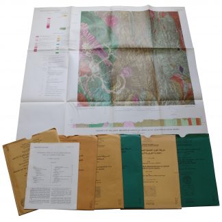
Saudi Arabia Geologic Maps (GM) series. Six maps.Reston, VA / Jiddah, 1975-1991.
€ 4,000.00 -
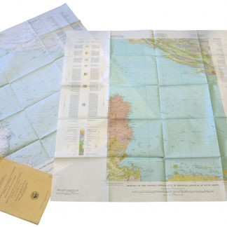
Geographic Map of the Central Persian Gulf Quadrangle Kingdom of Saudi …Washington, D.C., 1959-1961 CE = 1378-1380 H.
€ 9,500.00 -
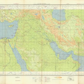
US Army Air Forces. Long Range Navigation Chart. Arabia, Restricted.Washington, D.C., 1944.
€ 2,500.00 -
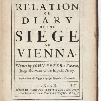
A Relation or Diary of the Siege of Vienna.London, 1684.
€ 3,500.00 -
Géographie historique, ecclésiastique et civile, ou description de toutes …Paris, 1755.
€ 7,500.00 -
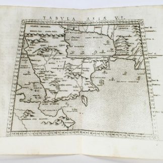
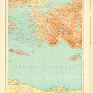
Tabula Asiae VI.Venedig, 1562.
€ 1,500.00 -
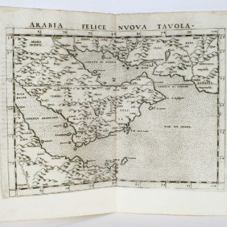
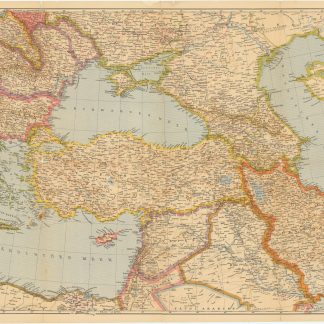
Arabia felice nuova tavola.Venedig, 1562.
€ 2,500.00 -
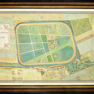
Hippodrome de Carrieres-sous-Poissy, Seine et Oise, appartenant a Mr. Vanderbilt …Paris, 1903-4-11.
€ 45,000.00 -
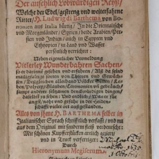
Hodaeporicon Indiae Orientalis; Das ist: Warhafftige Beschreibung der ansehnlich …Leipzig, 1608.
€ 28,000.00 -
Antiquor[um] Imperiorum Tabula [...].Paris, 1757.
€ 1,800.00 -
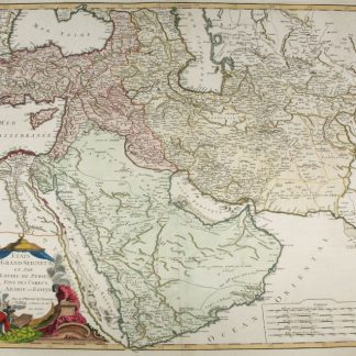
Etats du Grand-Seigneur en Asie, Empire de Perse, Pays des Usbecs, Arabie …Paris, 1753.
€ 1,950.00 -
The Oasis of Al-Hasa.Dhahran, Saudi Arabia, 1955.
€ 950.00 -
Plan der Umgebung des Orpheum's im Masse 1:720.Wohl Wien, um 1870.
€ 450.00 -
The Periplus of the Erythrean Sea [...] Containing an Account of the Navigation …London, 1800-1805.
€ 5,000.00 -
Archiducatus Austriae Superioris Geographica Descriptio facta Anno 1667.Augsburg, 1669.
€ 8,000.00 -
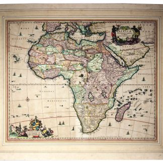
Africae accurata tabula.Amsterdam, ca. 1690?.
€ 2,500.00 -
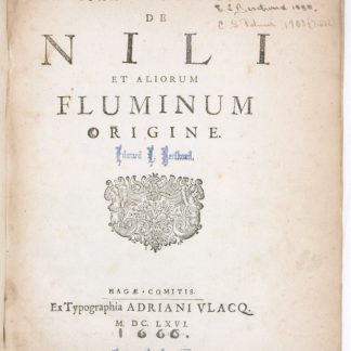
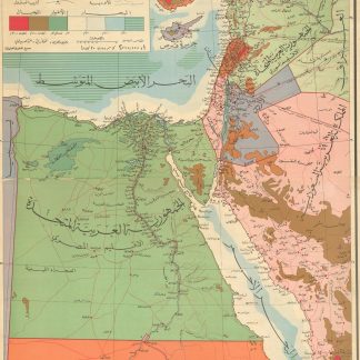
De Nili et aliorum fluminum origine.Den Haag, 1666.
€ 5,000.00 -
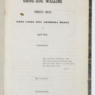
Första Resa fran Cairo till Arabiska Öknen i April 1845. Fragment.Helsingfors Helsinki, 1853.
€ 8,500.00
Showing items 481–528 of 551 (Maps and Plans)
Not what you were looking for? Browse 30,000 books and autographs by subject or try our advanced search.